Wrightwood CA
Wrightwood CA Weather, webcams, cabins, hotels and more... Elevation: 6,000' Population: 4,525


Replace this Google Ad with your own Advertisement for only $200 per month and be seen on EVERY page!

Wrightwood CA Photo Gallery

The town of Wrightwood and its surrounding areas can be very entertaining during any season of the year. We strive to keep our photo gallery updated with new photos after each community event. If you have photos you would like to share, please upload them to the Wrightwood photo gallery. Enjoy the new Wrightwood photo gallery. Please report any problems to us so that we can continue to monitor and ensure the quality of the Wrightwood photo gallery's content.


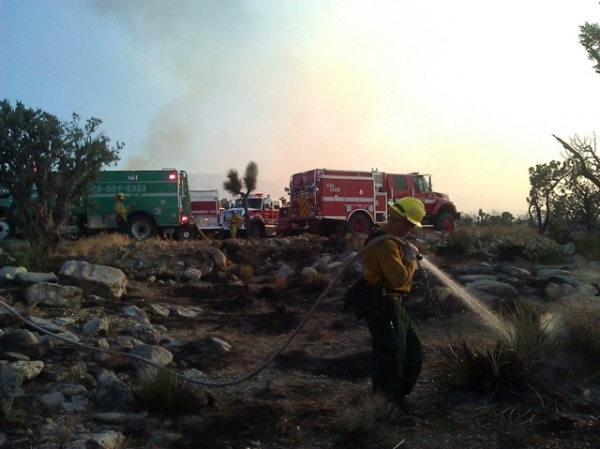
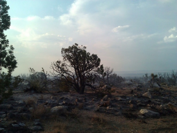
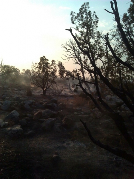
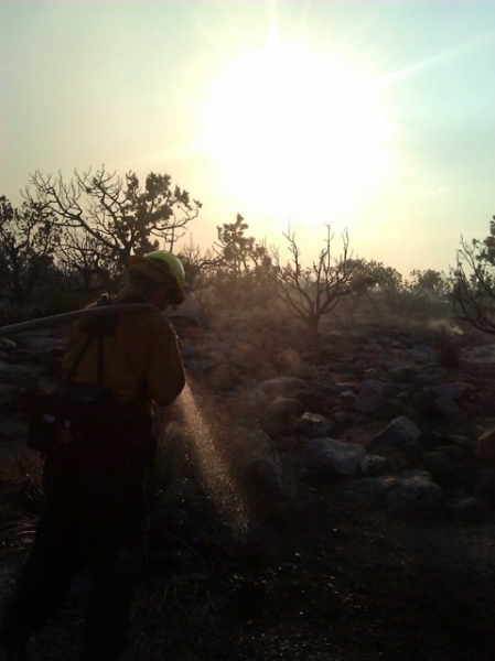
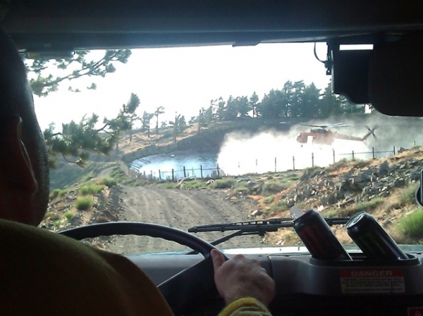
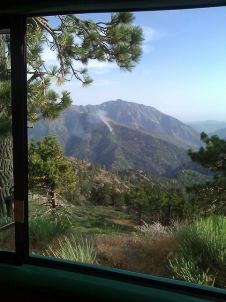
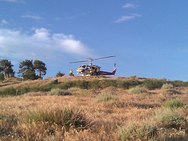
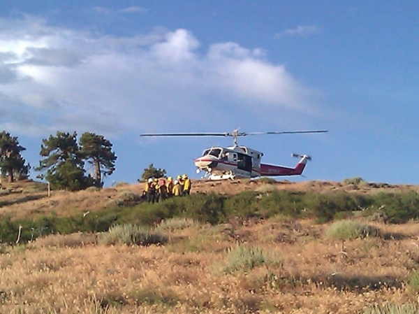
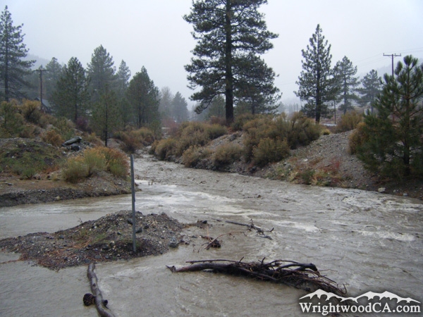
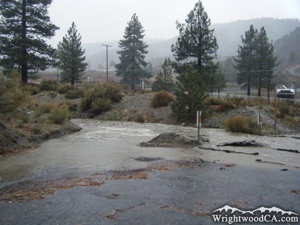
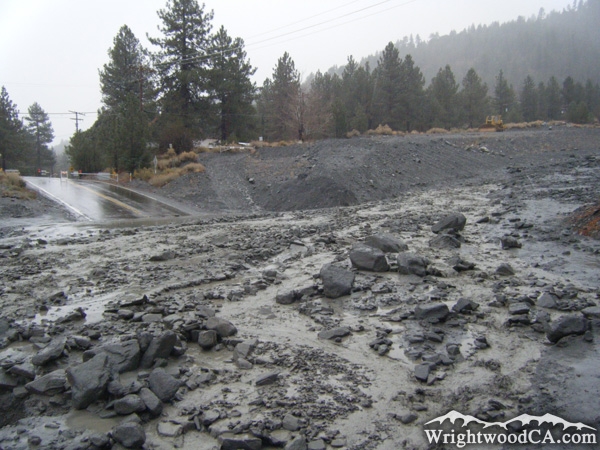
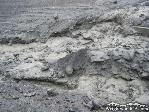
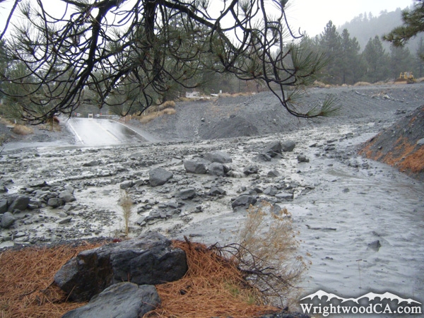
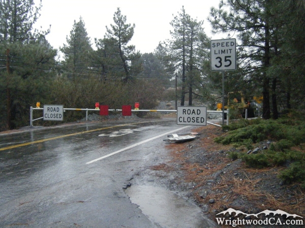
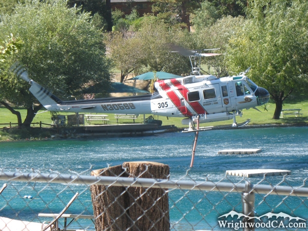
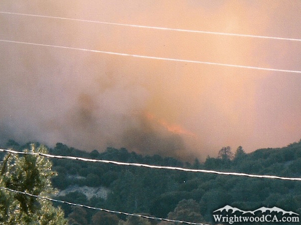
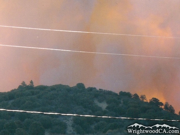
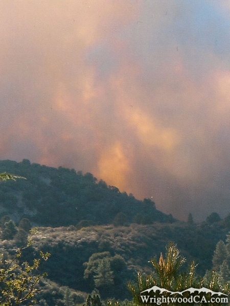
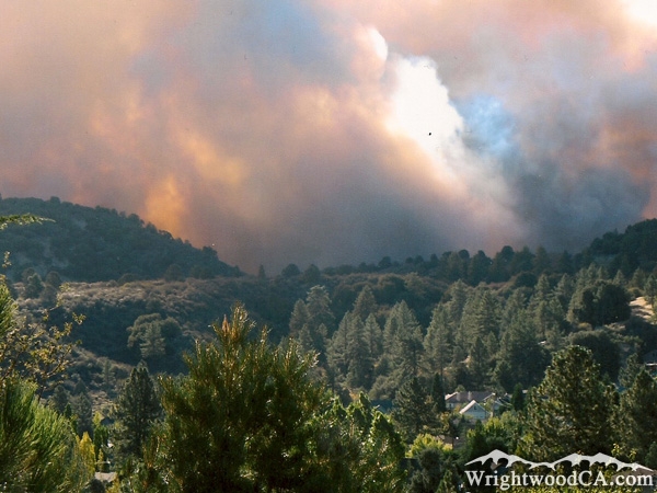
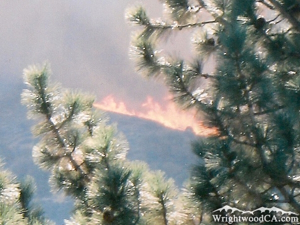
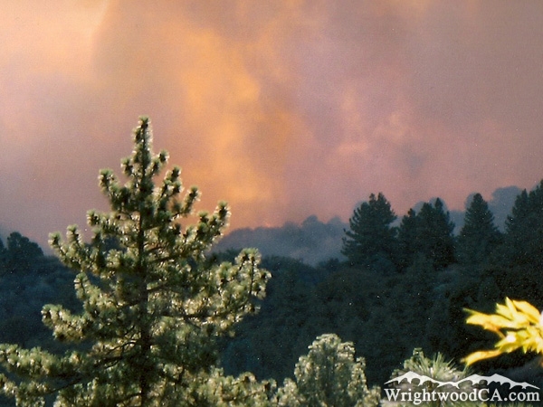
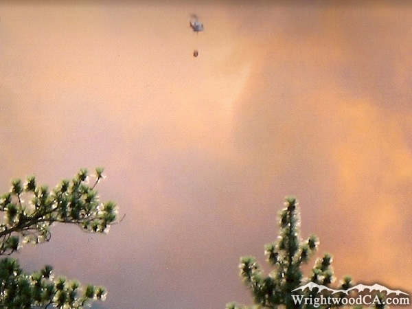
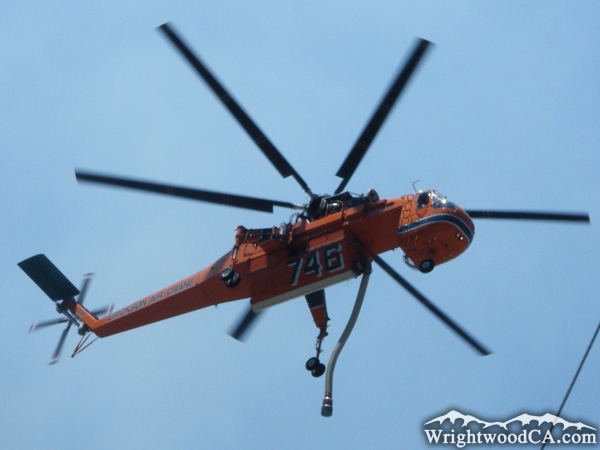
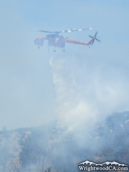
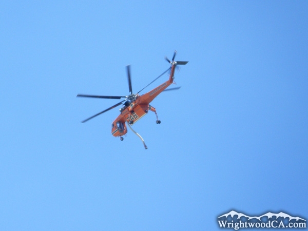
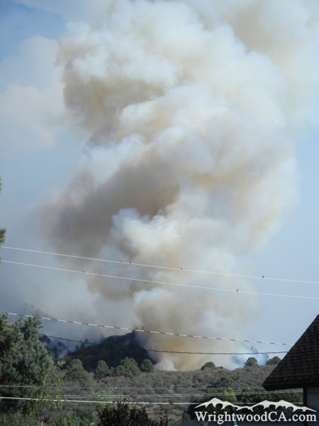
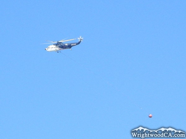
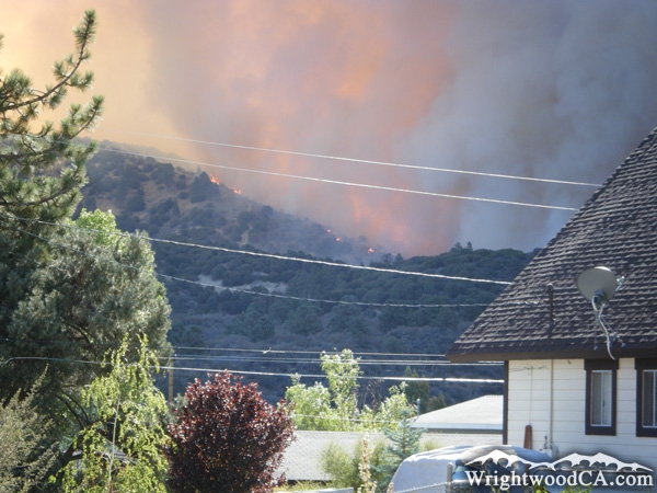
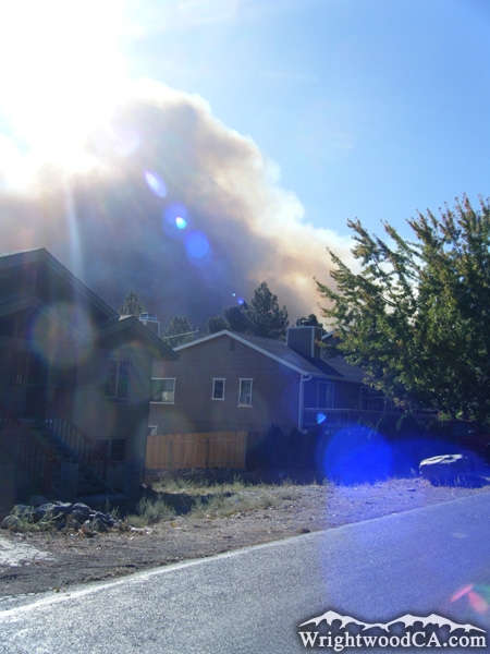
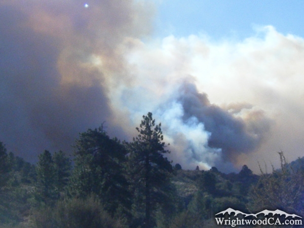
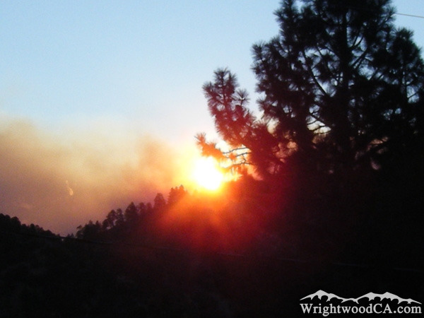
Natural Disasters Photos

Oasis Fire - Wrightwood CA PhotosOasis Fire - Wrightwood CA PhotosOasis Fire - Wrightwood CA PhotosOasis Fire - Wrightwood CA Photos
Water pickup from Mountain High reservoir. Courtesy of a firefighter. - Wrightwood CA PhotosFire behind Wright Mountain - Wrightwood CA PhotosFire behind Wright Mountain - Wrightwood CA PhotosFire behind Wright Mountain - Wrightwood CA Photos
Mud running through Wrightwood in December 2010. - Wrightwood CA PhotosBottom of Cardinal Road during heavy rain in December 2010. - Wrightwood CA PhotosLone Pine Canyon Road covered in Mud, December 2010. - Wrightwood CA PhotosMud and flooding in Wrightwood. - Wrightwood CA Photos
Heath Creek wash flooded out with mud in December 2010. - Wrightwood CA PhotosLone Pine Canyon Road closed due to mud slides in December 2010. - Wrightwood CA PhotosSan Bernardino County SheriffFlames on Circle Mountain during Sheep Fire of 2009. - Wrightwood CA Photos
Circle Mountain in front of the Sheep Fire of 2009. - Wrightwood CA PhotosSheep Fire just behind Circle Mountain, toward top of Lone Pine Canyon. - Wrightwood CA PhotosSheep Fire creeping over ridge toward Wrightwood after racing up Lone Pine Canyon overnight. - Wrightwood CA PhotosFlames from Sheep Fire climbing Circle Mountain. - Wrightwood CA Photos
Fire and smoke around Circle Mountain. - Wrightwood CA PhotosHelicopter flying into the smoke during the Sheep Fire of 2009. - Wrightwood CA PhotosFire Helicopter above Wrightwood. - Wrightwood CA PhotosHelicopter dumping water below Circle Mountain during Sheep Fire. - Wrightwood CA Photos
Helicopter flying over Wrightwood during Sheep Fire of 2009. - Wrightwood CA PhotosPlume on smoke just below Circle Mountain during Sheep Fire. - Wrightwood CA PhotosHelicopter carrying water to fight the fire. - Wrightwood CA PhotosCircle Mountain being overtaken by flames from the Sheep Fire. - Wrightwood CA Photos
Residential area of Wrightwood with smoke from the Sheep Fire of 2009 in the background. - Wrightwood CA PhotosPlumes of smoke near the top of Lone Pine Canyon, threatening the town of Wrightwood during Sheep Fire. - Wrightwood CA PhotosSunrise on the morning the town of Wrightwood was evacuated as the Sheep Fire of 2009 stormed up Lone Pine Canyon and over Circle Mountain. - Wrightwood CA Photos


Replace the Google Ad at the top of this page with your own Advertisement for only $200 per month and be seen on EVERY page!

Copyright © 2011-2023 WrightwoodCA.com - All Rights Reserved.
Paid Banner Advertising | Premium Business Listing Service

Wrightwood CA Info: About The Town | Business Directory | Live Webcams | Photo Gallery | Video Archive | Emergency Resources | Maps and Directions | Mountain Road Conditions | Homes and Real Estate | Lodging, Cabins & Hotels | Organizational Camps | Local Campgrounds | Snow Playing | Skiing & Snowboarding | Ziplines at Pacific Crest | Event Facilities | Hiking Trails | San Gabriel Mountains | Canyons and Valleys | Picnic Areas | Visitor Centers