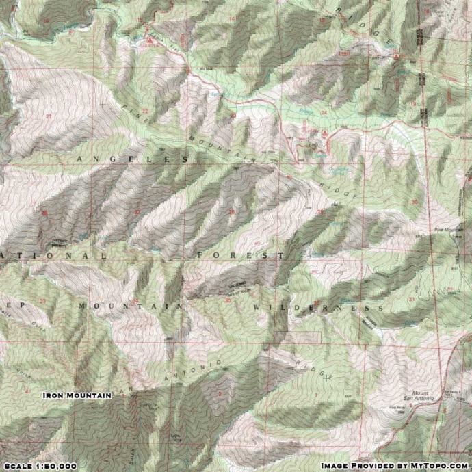
Wrightwood CA
Wrightwood CA Weather, webcams, cabins, hotels and more... Elevation: 6,000' Population: 4,525


Replace this Google Ad with your own Advertisement for only $200 per month and be seen on EVERY page!

Iron Mountain


Mountains

Iron Mountain - Wrightwood CA
View Photos (17)
Map of Iron Mountain - Wrightwood CA
View Maps (1)

Iron Mountain Information

Elevation: 8,007'
Location: South of Wrightwood

Iron Mountain Description

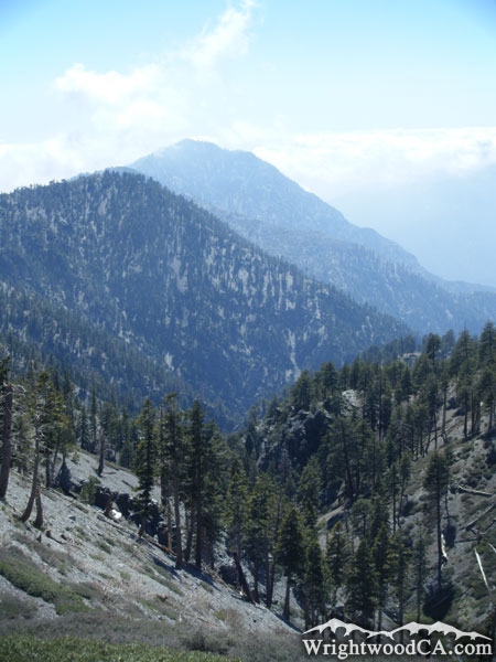
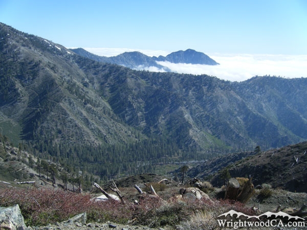
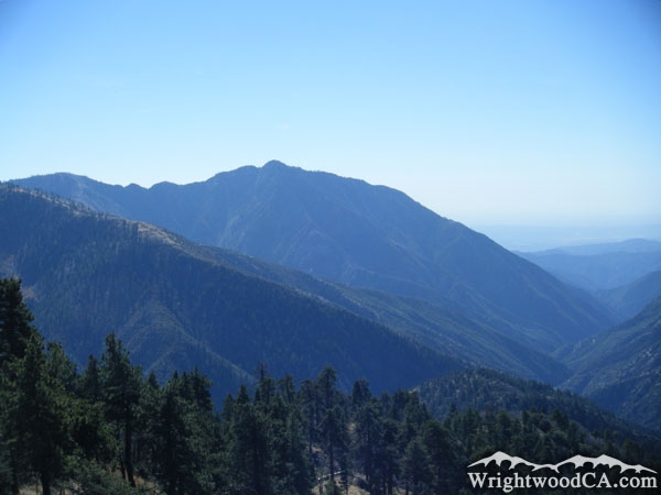
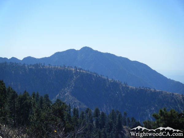
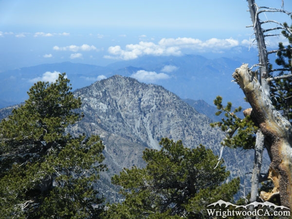
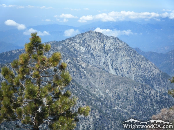
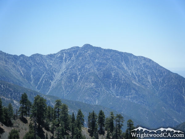
Iron Mountain is a jagged peak along the west-running ridge of Mt Baldy. The terrain is very rocky and steep. Iron Mountain can be seen from most places within the San Gabriel River Basin (East Fork). Iron Mountain and the ridge it is part of, act as the steep south wall for the canyon of Fish Fork. Even though the peak of Iron Mountain stands at only 8,007' (which is small compared to some of the other local mountains), it is still very prominent as it drops straight down to the bottom of the San Gabriel River Basin.

For more information, check out our San Gabriel Mountains website on the Wrightwood CA Network.

Directions to Iron Mountain from Wrightwood

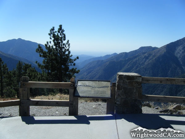
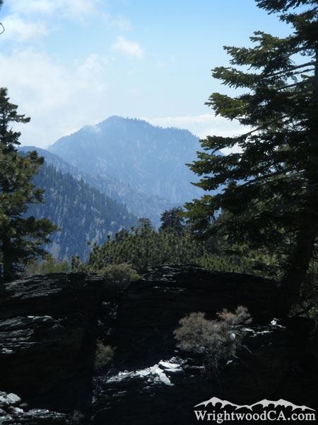
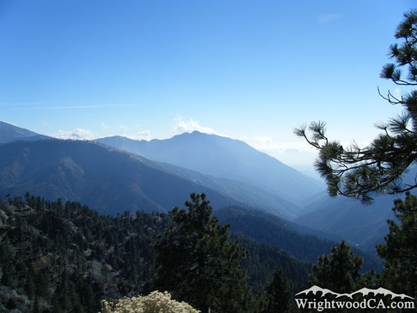
From Wrightwood, travel westbound on Highway 2 to Inspiration Point. This location offers great views of Iron Mountain, which is mounted along the east side of the San Gabriel River Basin (East Fork). You can also see, from this point of view, how Iron Mountain is part of the ridge that connects with Mt Baldy to the east. If a strenuous hiking trip is on your calendar, take the North Backbone Trail (from the backside of Wright Mountain) to the peak of Mt Baldy. From here, follow the ridge line across from Mt Baldy to Iron Mountain. Don't attempt this unless you hike A LOT and know what your body is capable of. Bring Water!

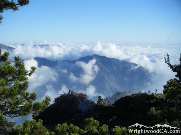
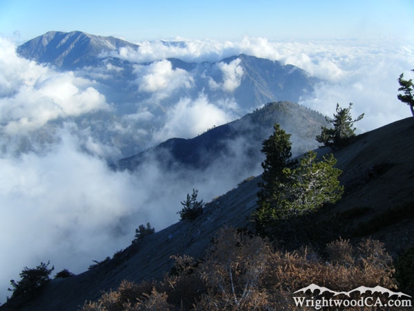
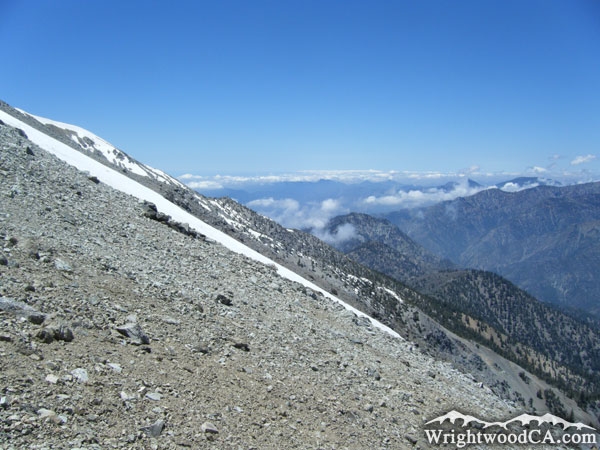
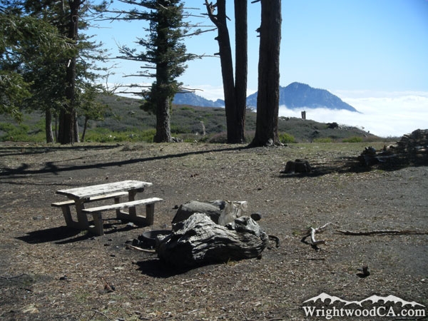
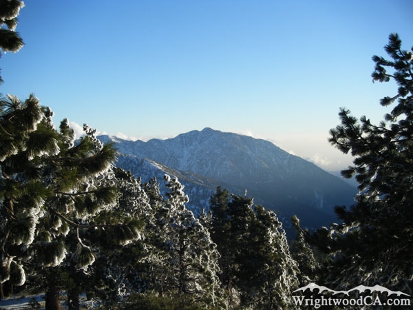
Iron Mountain Photos
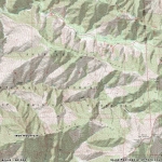
Iron Mountain - Wrightwood CA MountainsClouds surrounding Iron Mountain - Wrightwood CA MountainsMt Baldy (left) and Iron Mountain (right) as viewed from peak of Mt Baden Powell - Wrightwood CA MountainsIron Mountain in background, North Backbone Trial in foreground on Mt Baldy - Wrightwood CA Mountains
Iron Mountain peaking above the clouds behind Guffy Campground - Wrightwood CA MountainsIron Mountain above Fish Fork - Wrightwood CA MountainsIron Mountain behind Pine Mountain Ridge - Wrightwood CA MountainsIron Mountain
 - Wrightwood CA Mountains
Iron Mountain above Pine Mountain Ridge - Wrightwood CA MountainsIron Mountain (left) and the San Gabriel River Basin (East Fork) as viewed from Inspiration Point - Wrightwood CA MountainsIron Mountain above Pine Mountain Ridge - Wrightwood CA MountainsIron Mountain peaking above the clouds - Wrightwood CA Mountains
Iron Mountain - Wrightwood CA MountainsIron Mountain framed with a pine tree - Wrightwood CA MountainsIron Mountain above Fish Fork - Wrightwood CA MountainsIron Mountain in the distance - Wrightwood CA Mountains
Iron Mountain

Iron Mountain Maps

Topographic Map of Iron Mountain - Wrightwood CA Mountains


Replace the Google Ad at the top of this page with your own Advertisement for only $200 per month and be seen on EVERY page!

Copyright © 2011-2023 WrightwoodCA.com - All Rights Reserved.
Paid Banner Advertising | Premium Business Listing Service

Wrightwood CA Info: About The Town | Business Directory | Live Webcams | Photo Gallery | Video Archive | Emergency Resources | Maps and Directions | Mountain Road Conditions | Homes and Real Estate | Lodging, Cabins & Hotels | Organizational Camps | Local Campgrounds | Snow Playing | Skiing & Snowboarding | Ziplines at Pacific Crest | Event Facilities | Hiking Trails | San Gabriel Mountains | Canyons and Valleys | Picnic Areas | Visitor Centers