Blue Ridge
Mountains
Blue Ridge Description
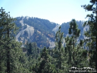
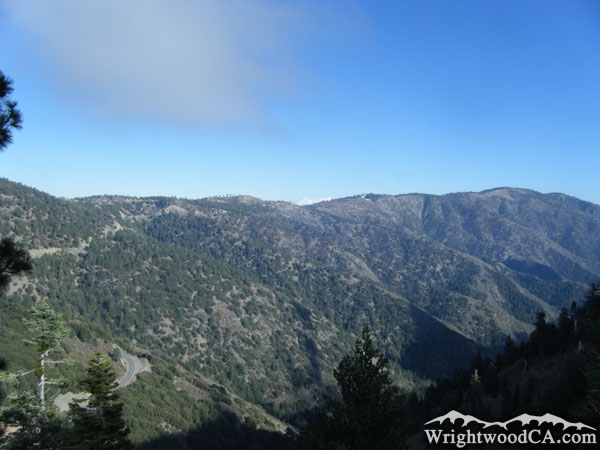
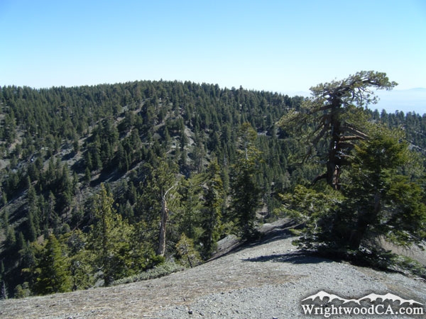
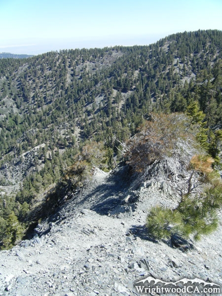
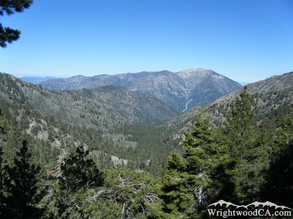
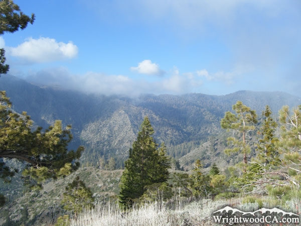
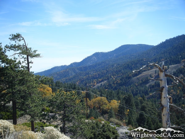
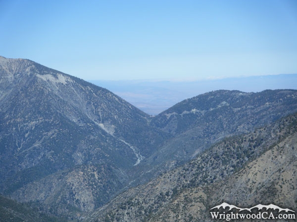
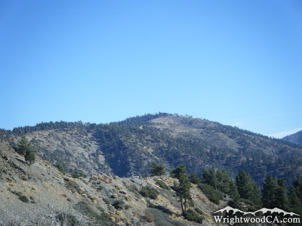
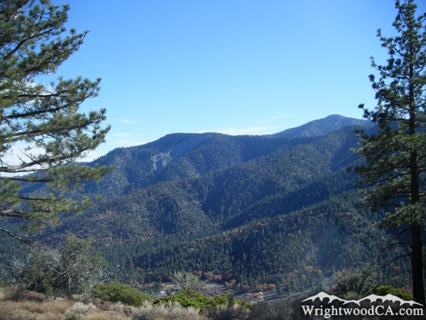
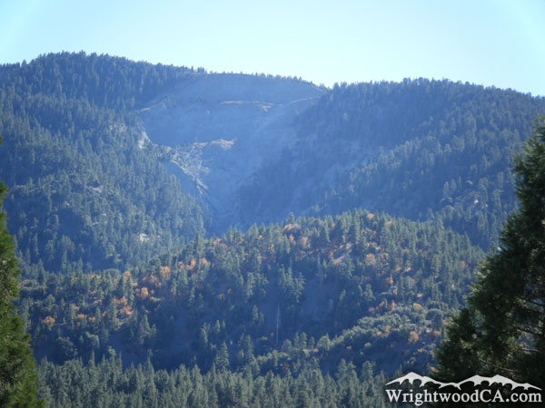
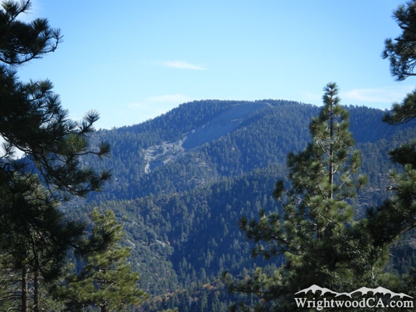
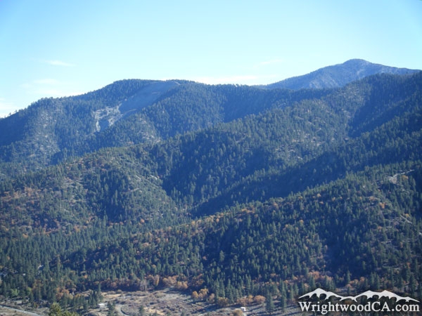
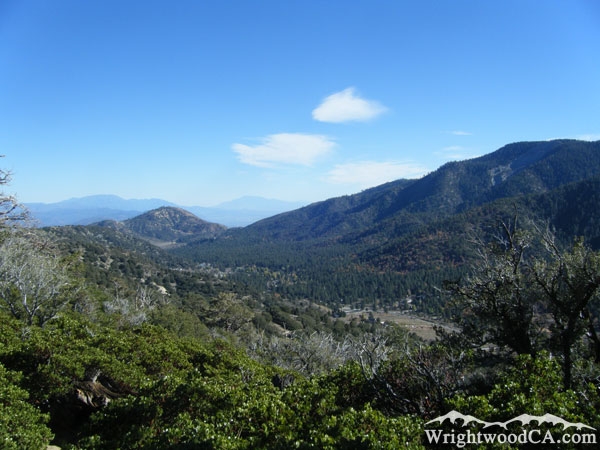
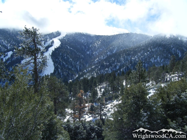
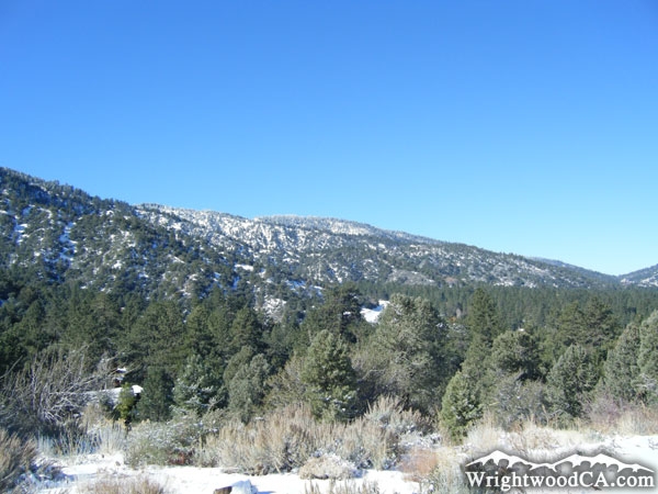
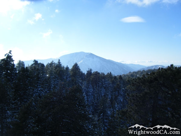
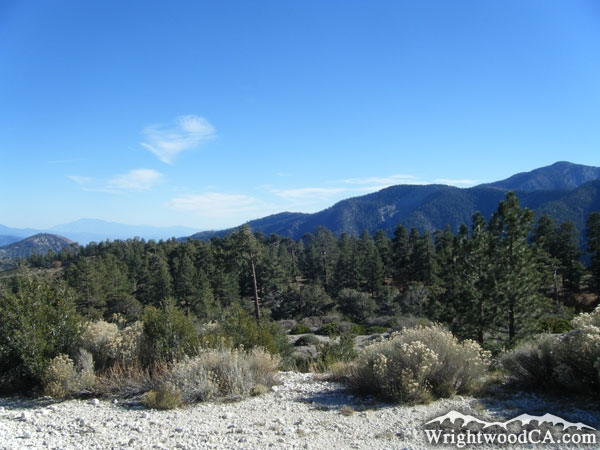
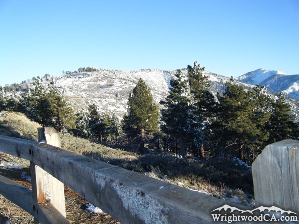
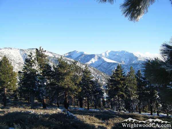
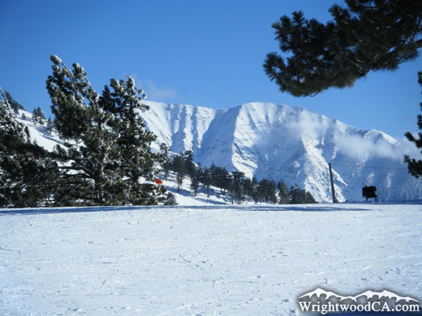
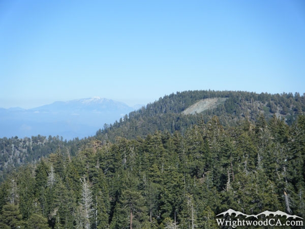
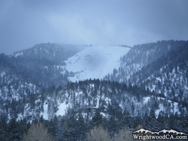
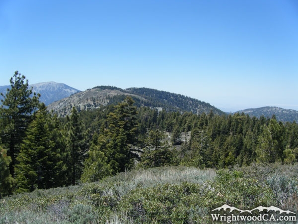
The Blue Ridge is an east-west running ridge line that makes up the south wall of Swarthout Valley. Blue ridge runs all the way from beyond Vincent Gap along the south side of the San Andreas Fault, and continues down the south side of Lone Pine Canyon. This ridge line is host to most of the Wrightwood area's major attractions like Inspiration Point, Mountain High's West and East Resorts, Blue Ridge Campground, Guffy Campground, and Wright Mountain (which is the highest point on Blue Ridge).
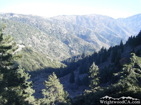
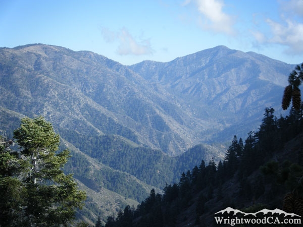
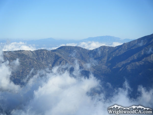
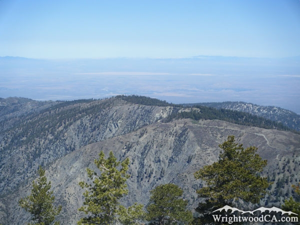
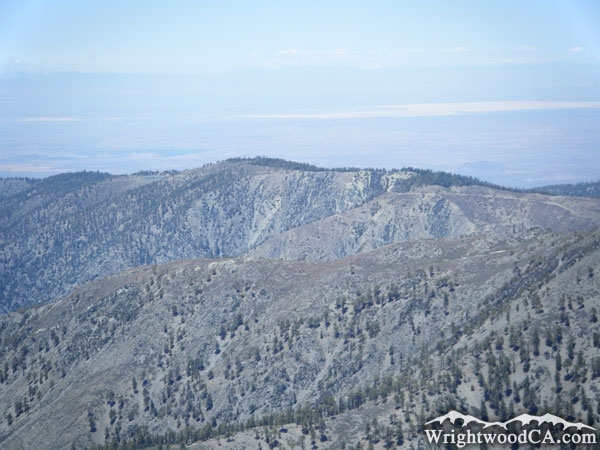
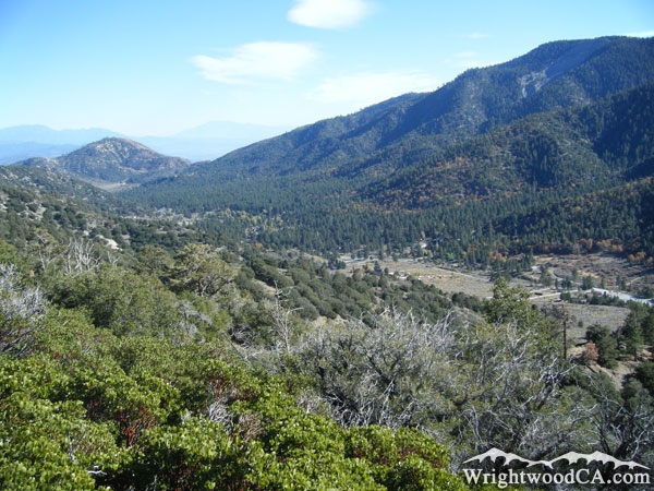
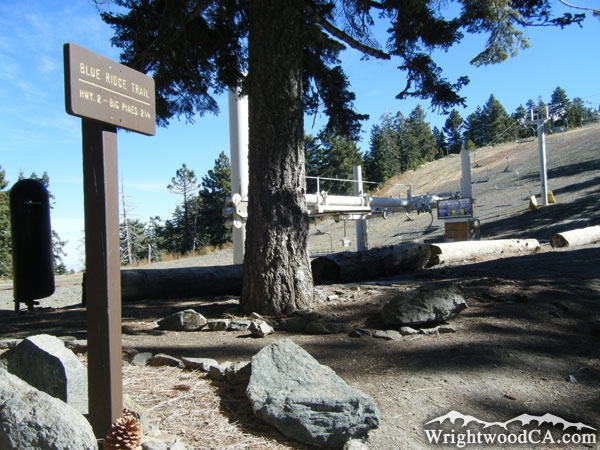
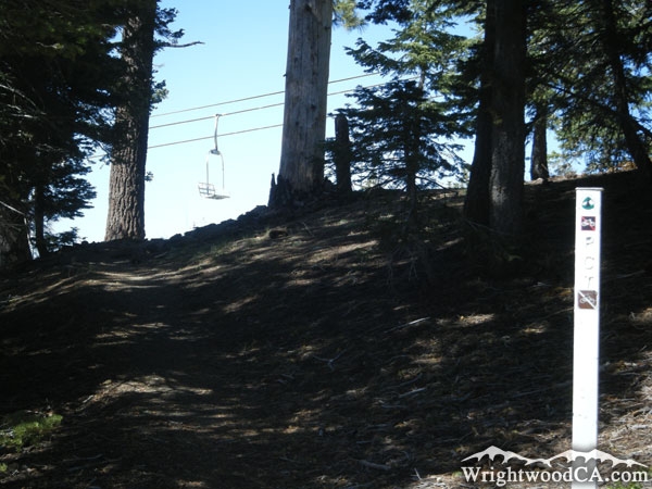
Many locations along Blue Ridge offer spectacular views of surrounding mountains and valleys, including views of the town of Wrightwood, nestled in Swarthout Valley. As the Pacific Crest Trail (PCT) hits the Wrightwood area, it stays along the top of Blue Ridge almost the entire time. Other good trails to access the top of Blue Ridge include the Acorn Trail, and of course the Blue Ridge Trail.
For more information, check out our San Gabriel Mountains website on the Wrightwood CA Network.
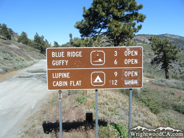
Directions to Blue Ridge from Wrightwood
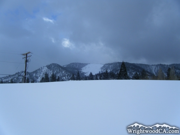
For incredible views of the north face of Blue Ridge, just look up from just about anywhere in the town of Wrightwood. Otherwise, take Highway 2 westbound from Wrightwood to Inspiration Point. If the views from Inspiration Point aren't enough for you, take the Blue Ridge Road from Inspiration Point eastbound. When it's open, this drive will take you along the Blue Ridge, all the way to the east side of Wright Mountain, at the top of Slover Canyon.
Blue Ridge Photos
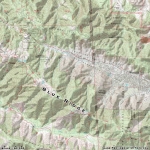
Blue Ridge Maps
|