Wrightwood CA
Wrightwood CA Weather, webcams, cabins, hotels and more... Elevation: 6,000' Population: 4,525


Replace this Google Ad with your own Advertisement for only $200 per month and be seen on EVERY page!

Mt Baden Powell


Mountains

Mt Baden Powell - Wrightwood CA
View Photos (36)
Map of Mt Baden Powell - Wrightwood CA
View Maps (1)

Mt Baden Powell Information

Elevation: 9,399'
Location: South-West of Wrightwood

Mt Baden Powell Description

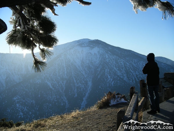
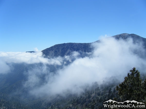
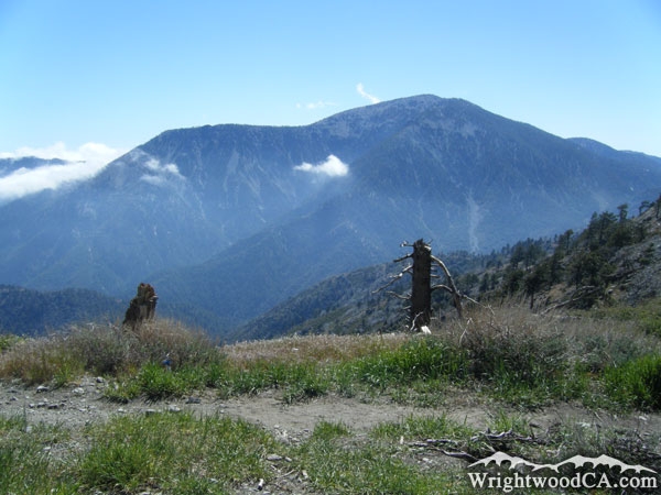
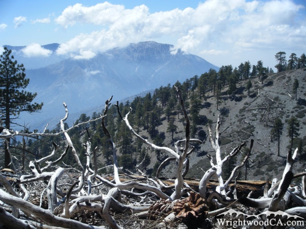
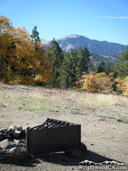
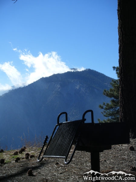
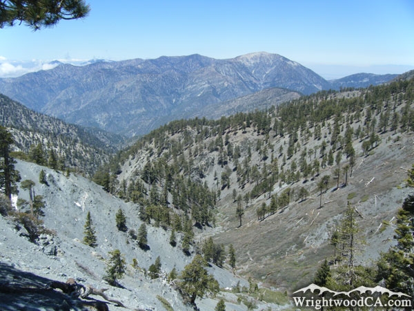
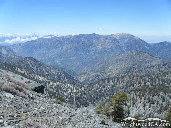
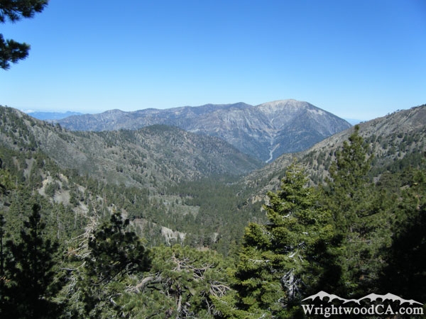
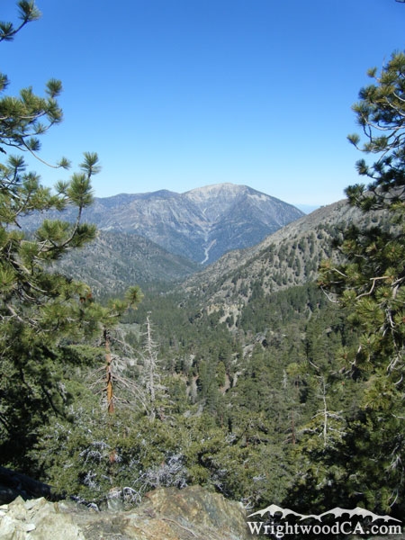
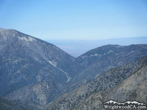
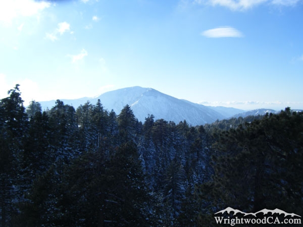
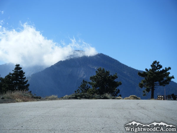
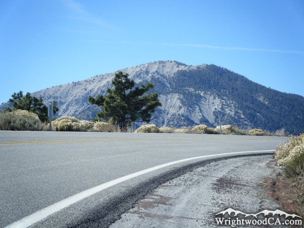
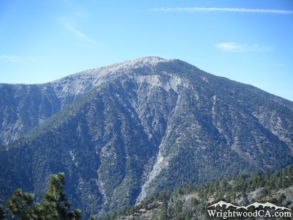
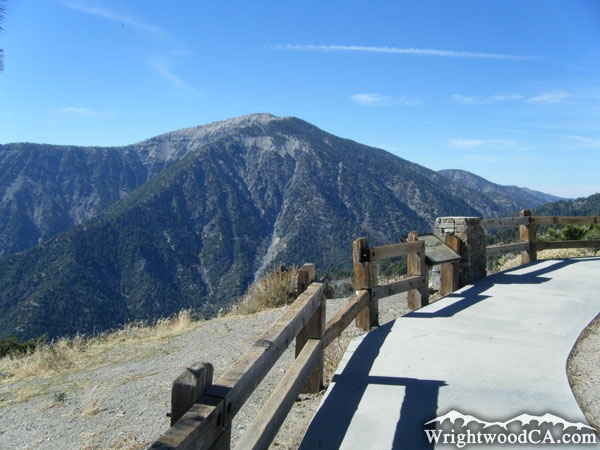
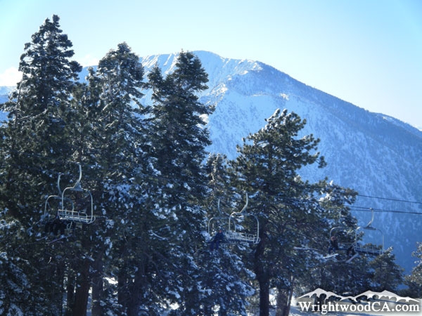
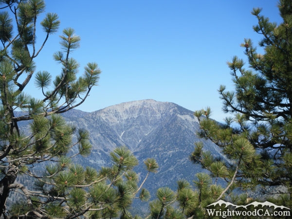
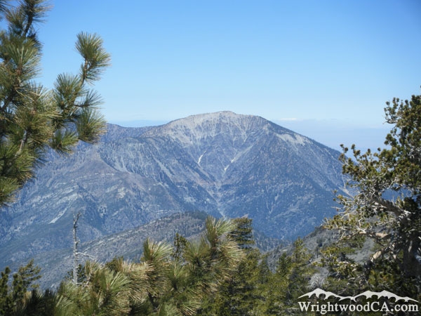
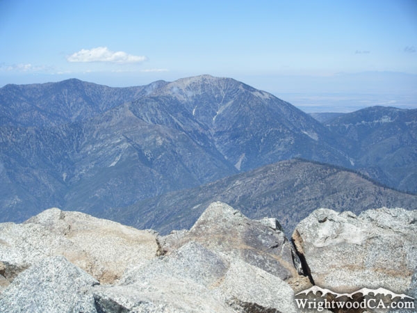
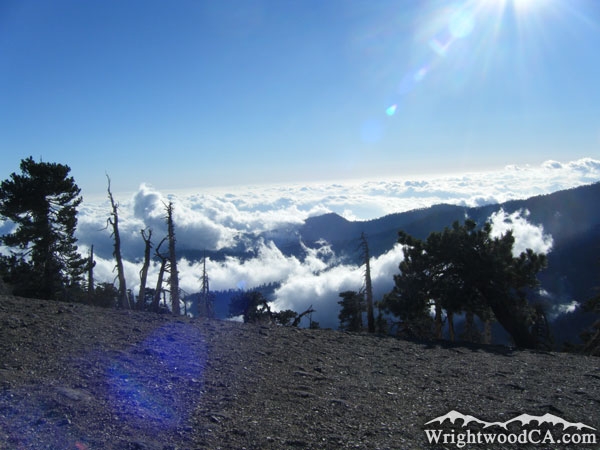
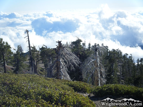
Mt Baden Powell is one of the most prominent mountains in the San Gabriel Mountain Range, standing at about 9,399' in elevation. This mountain really stands out as it looks across the San Gabriel River Basin (East Fork) at Mt Baldy. Mt Baden Powell is considered the 4th highest peak in the San Gabriel Mountains, and like Mt Baldy, has very little vegetation growth toward the peak, giving the mountain a bald appearance as well.

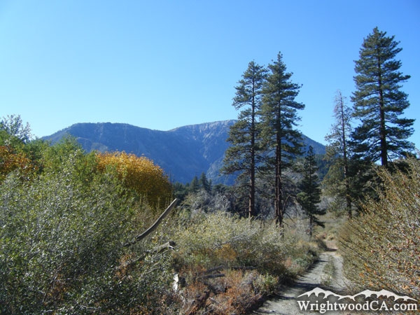
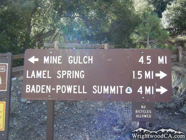
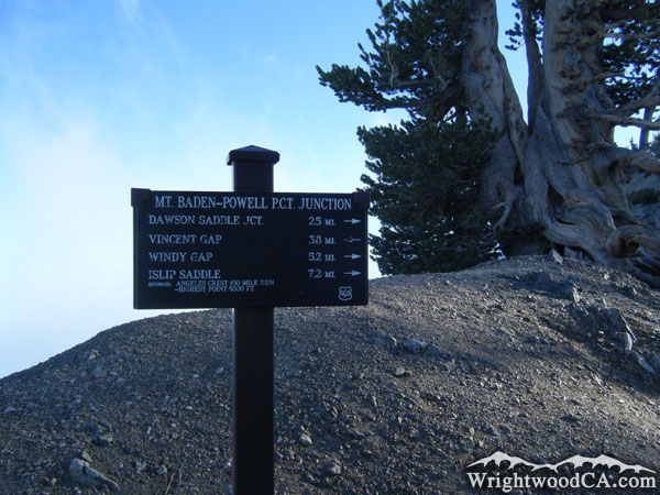
Mt Baden Powell is one of the more popular mountains to hike on and around. The Mt Baden Powell trail, which traverses up the north face of the mountain, is also part of the Pacific Crest Trail (PCT) which runs from Mexico to Canada. Mt Baden Powell is also a favorite because it is easy to access with a parking lot right off of Highway 2, at the base of the mountain in Vincent Gap. Mt Baden Powell was also used for mining during the California Gold Rush. The Bighorn Mine Trail takes hikers around the side of Baden Powell, to the Bighorn Mine structures which also offer an amazing view of the San Gabriel River Basin (East Fork) as well as Mt Baldy and other mountains.

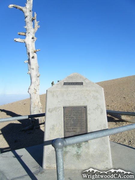
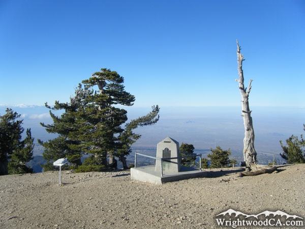
The mountain was named after Lord Baden Powell, who founded the World Scouting Movement. At the peak of the mountain, Boy Scouts of America (BSA) built a memorial for Lord Baden Powell.

For more information, check out our San Gabriel Mountains website on the Wrightwood CA Network.

Directions to Mt Baden Powell from Wrightwood

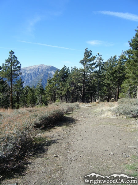
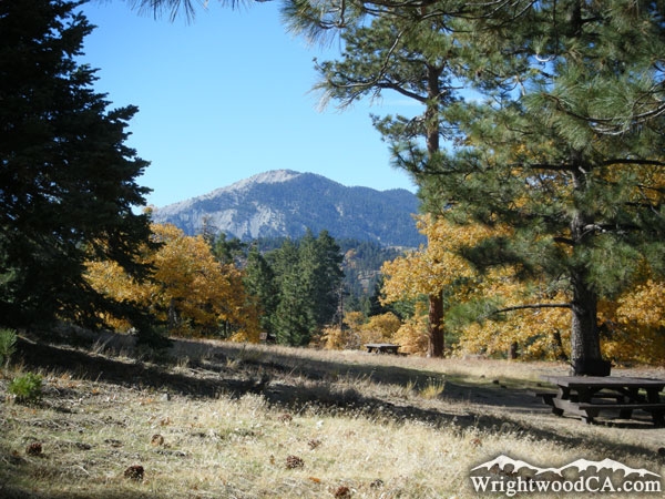
Take Highway 2 westbound from the town of Wrightwood to Inspiration Point. Like most mountains in the area, this is one of the best places to view Mt Baden Powell. From Inspiration Point you can continue on Highway 2, westbound, past Grassy Hollow Visitors Center, and down to the parking lot of Vincent Gap. This is the trail head to the Bighorn Mine Trail and the Mt Baden Powell Trail (both on Mt Baden Powell).

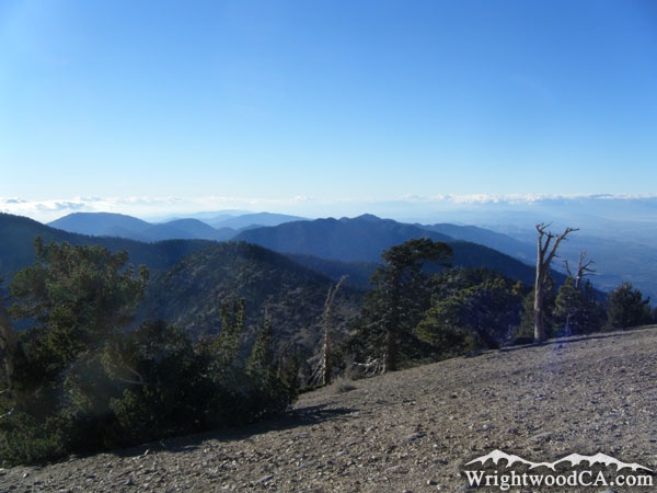
Mt Baden Powell Photos

Mt Baden Powell from Inspiration Point  - Wrightwood CA MountainsMt Baden Powell behind clouds from the Lightning Ridge Trail - Wrightwood CA MountainsSan Gabriel Mountains viewed from the top of Mt Baden Powell - Wrightwood CA MountainsMt Baden Powell above the Pacific Crest Trail (PCT) near Blue Ridge Campground - Wrightwood CA Mountains
Mt Baden Powell in the distance from Dawson Peak Trail - Wrightwood CA MountainsPacific Crest Trail (PCT) and Mt Baden Powell - Wrightwood CA MountainsMt Baden Powell as viewed from Table Mountain Campground - Wrightwood CA MountainsCampfire pit at Table Mountain Campground in front of Mt Baden Powell - Wrightwood CA Mountains
Mt Baden Powell behind a stove from the Grassy Hollow Picnic Area - Wrightwood CA MountainsMt Baden Powell in the distance above Pine Mountain Ridge, viewed from the North Backbone Trail - Wrightwood CA MountainsMt Baden Powell in distance viewed from Mt Baldy - Wrightwood CA MountainsMt Baden Powell (top) and Prairie Fork (bottom) - Wrightwood CA Mountains
Mt Baden Powell above Prairie Fork (viewed from lower Pine Mountain on North Backbone Trail) - Wrightwood CA MountainsMt Baden Powell (left) and Vincent Gap (below to the right) - Wrightwood CA MountainsMt Baden Powell as viewed from Cabin Flat Campground - Wrightwood CA MountainsMount Baden Powell in the winter, viewed from Mountain High
Clouds around the top of Mt Baden Powell, viewed from Inspiration Point - Wrightwood CA MountainsHighway 2 at Inspiration Point in front of Mt Baden Powell - Wrightwood CA MountainsMt Baden Powell - Wrightwood CA MountainsMount Baden Powell and Inspiration Point - Wrightwood CA Mountains
Chair Lifts from Mountain HighMt Baden Powell between Pine Trees - Wrightwood CA MountainsMount Baden Powell framed with Pine Trees - Wrightwood CA MountainsLooking at Mt Baden Powell, over rocks at the peak of Mt Baldy - Wrightwood CA Mountains
Mt Baden Powell bathing in clouds, viewed from Blue Ridge - Wrightwood CA MountainsSunset with Mt Baden Powell - Wrightwood CA MountainsMt Baden Powell as viewed from Table Mountain turnout - Wrightwood CA MountainsMt Baden Powell Trail head at Vincent Gap - Wrightwood CA Mountains
Trees on Mt Baden Powell - Wrightwood CA MountainsRidge line near the peak of Mt Baden Powell - Wrightwood CA MountainsMt Baden Powell Trail - Wrightwood CA MountainsTrail junction near peak of Mt Baden Powell - Wrightwood CA Mountains
Boy Scout Monument at the peak of Mt Baden Powell - Wrightwood CA MountainsLooking down at clouds from the peak of Mt Baden Powell - Wrightwood CA MountainsBoy Scout Monument on the peak of Mount Baden Powell - Wrightwood CA MountainsLooking down at trees and clouds from the peak of Mt Baden Powell - Wrightwood CA Mountains

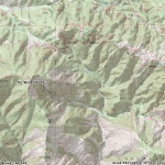
Mt Baden Powell Maps

Topographic Map of Mt Baden Powell - Wrightwood CA Mountains


Replace the Google Ad at the top of this page with your own Advertisement for only $200 per month and be seen on EVERY page!

Copyright © 2011-2023 WrightwoodCA.com - All Rights Reserved.
Paid Banner Advertising | Premium Business Listing Service

Wrightwood CA Info: About The Town | Business Directory | Live Webcams | Photo Gallery | Video Archive | Emergency Resources | Maps and Directions | Mountain Road Conditions | Homes and Real Estate | Lodging, Cabins & Hotels | Organizational Camps | Local Campgrounds | Snow Playing | Skiing & Snowboarding | Ziplines at Pacific Crest | Event Facilities | Hiking Trails | San Gabriel Mountains | Canyons and Valleys | Picnic Areas | Visitor Centers