Wrightwood CA
Wrightwood CA Weather, webcams, cabins, hotels and more... Elevation: 6,000' Population: 4,525


Replace this Google Ad with your own Advertisement for only $200 per month and be seen on EVERY page!

Mt Baldy (San Antonio)


Mountains

Mt Baldy (San Antonio) - Wrightwood CA
View Photos (39)
Map of Mt Baldy (San Antonio) - Wrightwood CA
View Maps (1)

Mt Baldy (San Antonio) Information

Elevation: 10,064'
Location: South of Wrightwood

Mt Baldy (San Antonio) Description

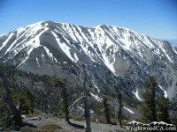
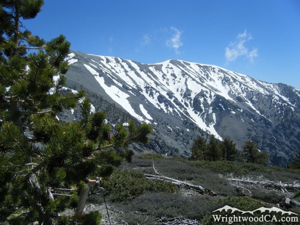
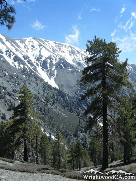
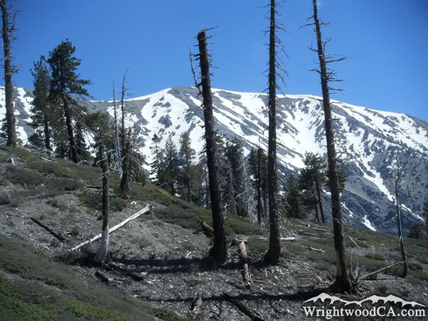
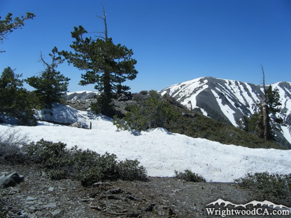
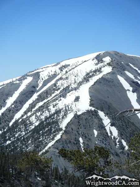
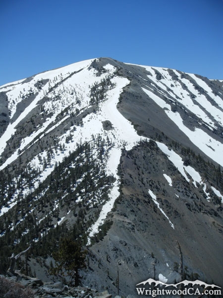
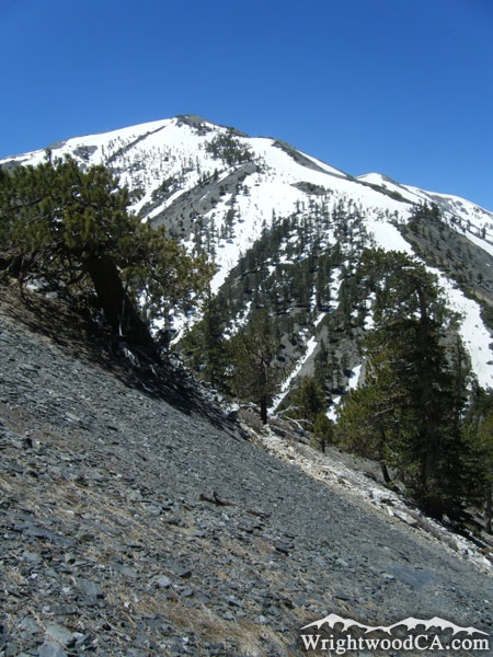
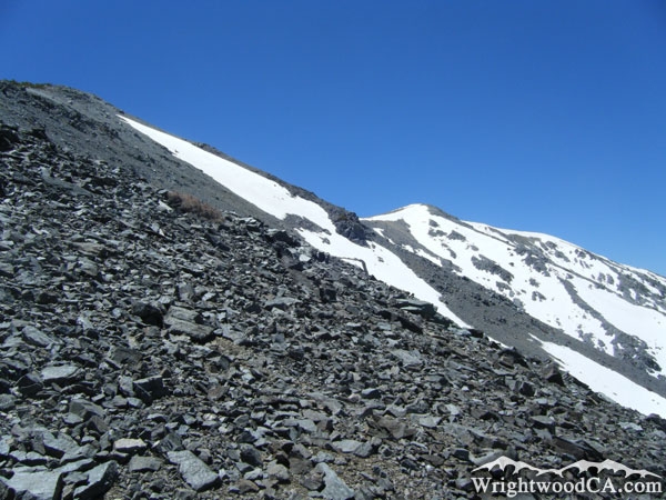
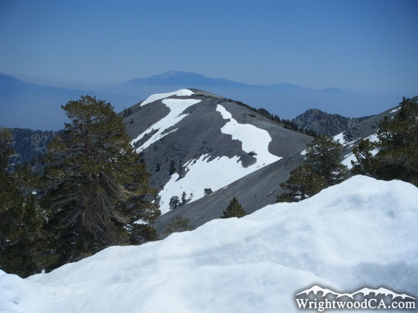
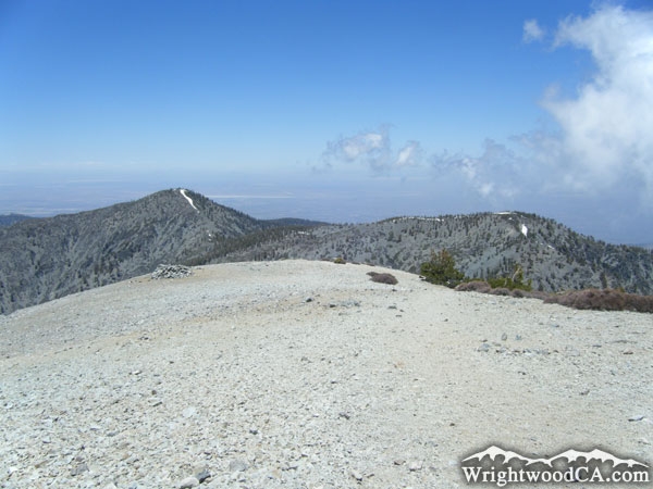
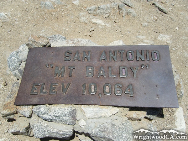
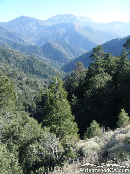
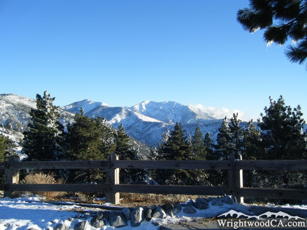
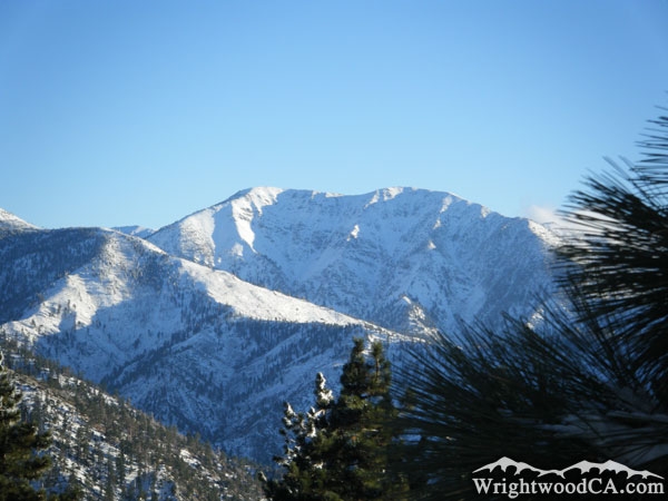
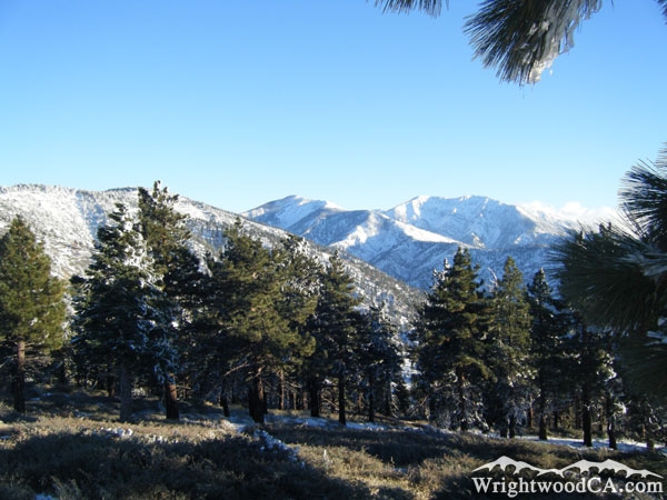
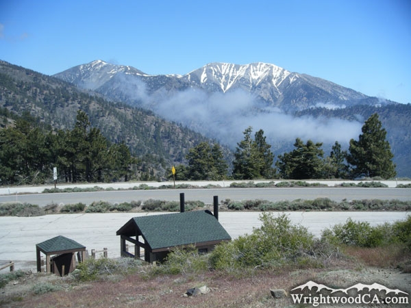
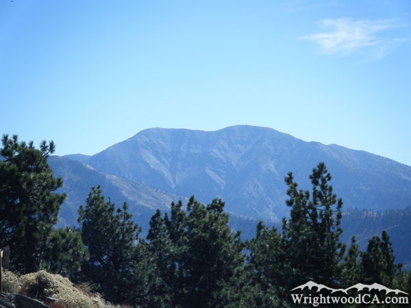
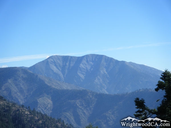
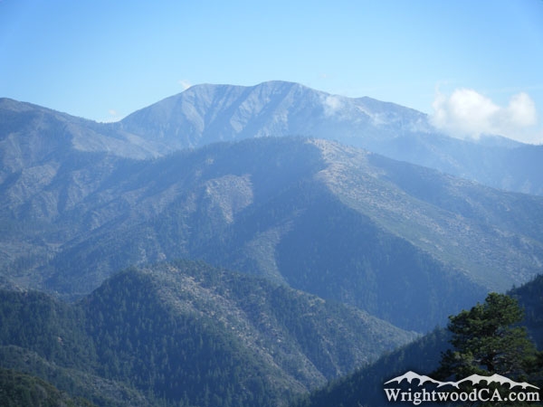
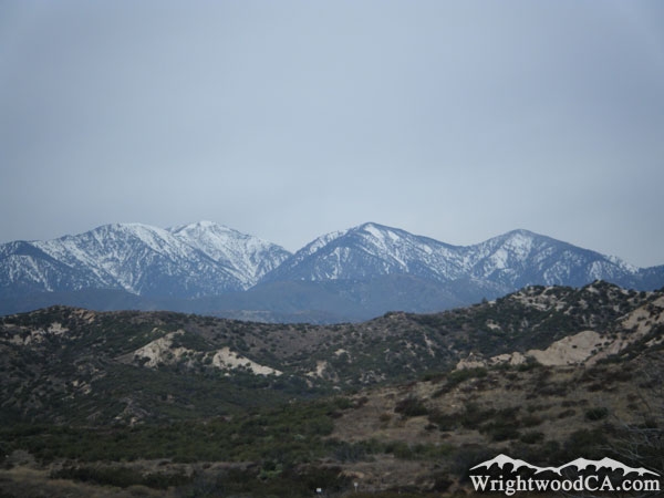
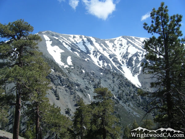
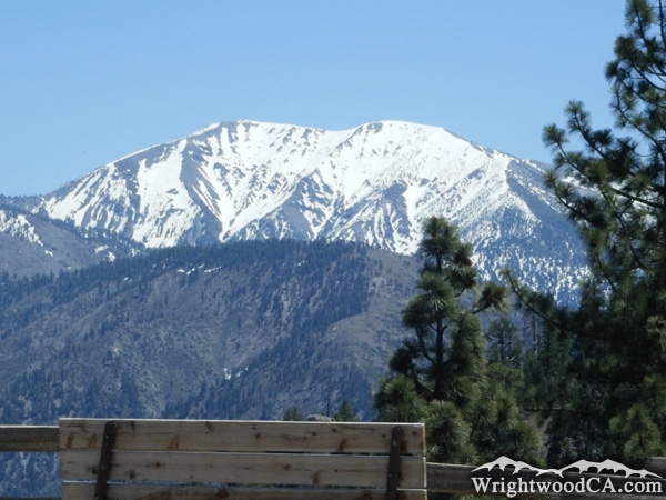
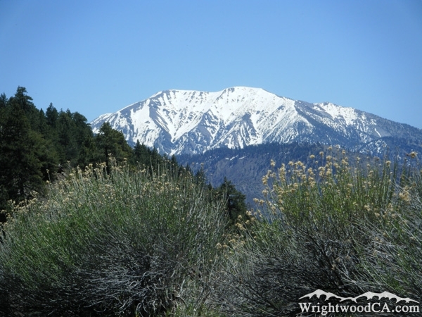
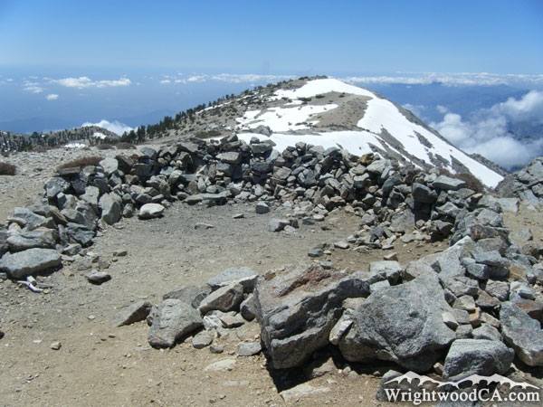
Mount San Antonio, also known as Mt Baldy, is the centerpiece of the San Gabriel Mountains with an elevation of 10,064 feet. It is the highest peak in Los Angeles County and the third highest peak in Southern California. Due to its high elevation, most trees can't grow near the peak of the mountain, which is how the mountain received the name "Baldy." West Baldy is the peak just south-west of San Antonio, at an elevation of 9,988 feet, is technically the second highest peak in the San Gabriel Mountains, but it is still part of Mount San Antonio.

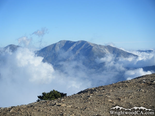
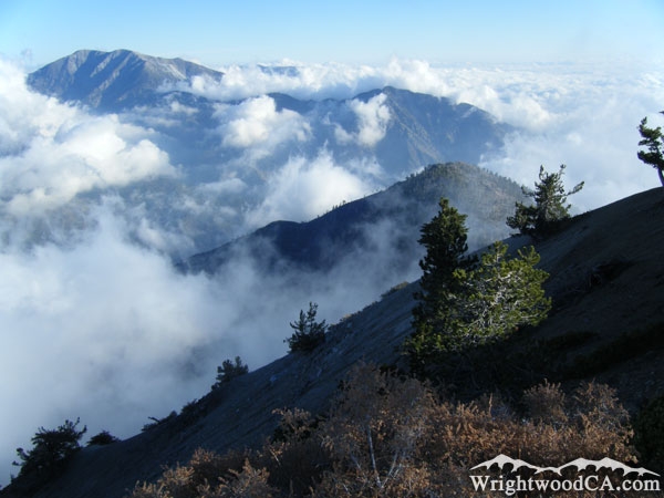
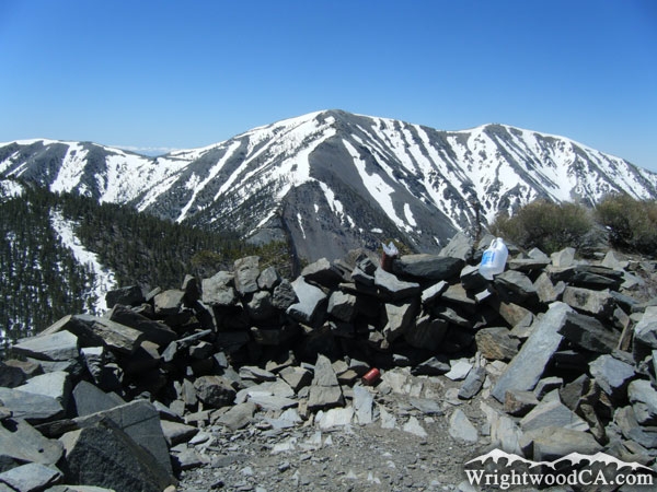
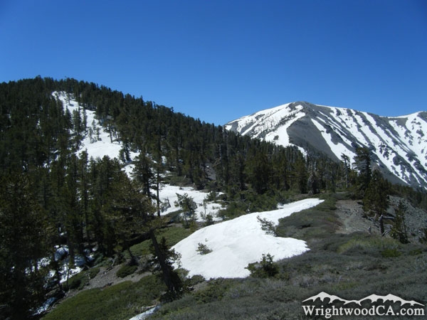
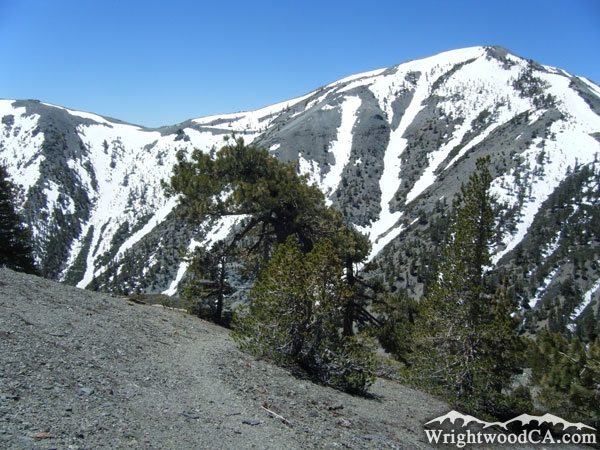
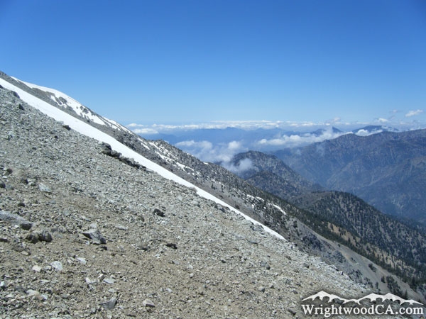
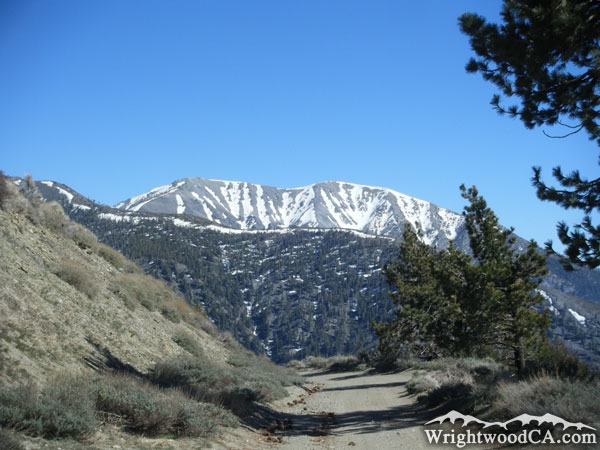
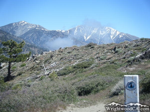
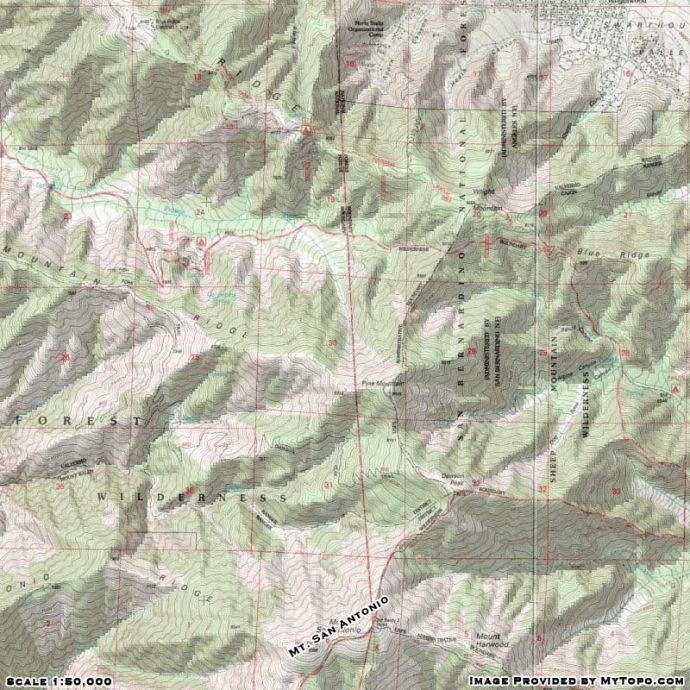
On a clear day, from the peak of Mt Baldy, you can see the Sierra Nevada Mountains in the distance to the north, San Gorgonio and San Jacinto peaks to the east, and even the Pacific Ocean and Catalina Island to the south-west. There are a couple of different hiking trails leading up to the peak from the Baldy Village side of the mountain. There is only one trail, the North Backbone Trail, that connects Mt Baldy with the Wrightwood area. Mt Baldy shares a ridge line with Dawson Peak, Pine Mountain, and Wright Mountain to the north.

For more information, check out our San Gabriel Mountains website on the Wrightwood CA Network.

Directions to Mt Baldy (San Antonio) from Wrightwood

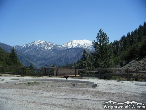
For the best views of Mt Baldy, take Highway 2 westbound from Wrightwood up to Inspiration Point. This is a great view point. If you want to get up close and personal with Mt Baldy, take the Blue Ridge road eastbound from Inspiration Point to the backside of Wright Mountain where you can find the trail head to the North Backbone Trail, which connects Wright Mountain to Pine Mountain, Dawson Peak, and eventually Mt Baldy (San Antonio).

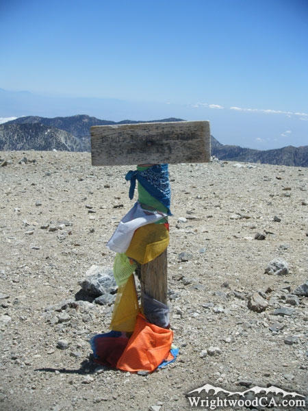
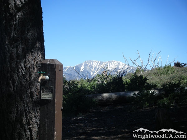
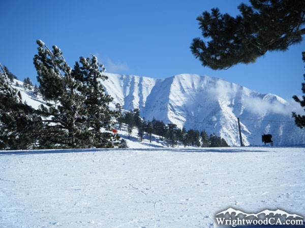
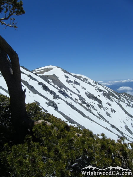
Mt Baldy (San Antonio) Photos

Mt Baldy as viewed from the North Backbone Trail - Wrightwood CA MountainsClouds surrounding Mt Baldy (Mt San Antonio) from the peak of Mt Baden Powell - Wrightwood CA MountainsMt Baldy (upper left) and Iron Mountain (center) surrounded by clouds, as viewed from peak of Mt Baden Powell - Wrightwood CA MountainsMt Baldy as viewed from the Dawson Peak Trail in Spring - Wrightwood CA Mountains
Mt Baldy (Mt San Antonio) from Dawson Peak Trail - Wrightwood CA MountainsMt Baldy behind dead trees on the Dawson Peak Trail - Wrightwood CA MountainsSnow-capped Mt Baldy from North Backbone Trail on Pine Mountain - Wrightwood CA MountainsLooking at Mt Baldy from the peak of Pine Mountain - Wrightwood CA Mountains
North ridge of Mt Baldy (where the North Backbone Trail climbs) - Wrightwood CA MountainsDawson Peak (left) and Mt Baldy (right) as viewed from the North Backbone Trail on descent from Pine Mountain - Wrightwood CA MountainsNorth ridge line of Mt Baldy (Mt San Antonio) - Wrightwood CA MountainsNorth ridge of Mt Baldy from the North Backbone Trial on Dawson Peak - Wrightwood CA Mountains
Mt Baldy as viewed from North Backbone Trail on descent from Dawson Peak - Wrightwood CA MountainsNorth face of Mt Baldy as viewed from north ridge line on Backbone Trail - Wrightwood CA MountainsViewing south from North Backbone Trail on Mt Baldy with snow covering the trail.  Mt San Jacinto seen in the background. - Wrightwood CA MountainsLooking down toward Iron Mountain and the East Fork San Gabriel River Basin from the north ridge of Mt Baldy - Wrightwood CA Mountains
Rocks on the peak of Mt Baldy - Wrightwood CA MountainsPine Mountain (left) and Dawson Peak (right) as viewed from the peak of Mt Baldy - Wrightwood CA MountainsHikers"San Antonio - Mt Baldy" placard at the peak of Mt Baldy, elevation 10,064 feet - Wrightwood CA Mountains
Mt Baldy viewed from Jackson Flat Group Campground - Wrightwood CA MountainsMt Baldy (top center), Pine Mountain (top left), and Pine Mountain Ridge (below Mt Baldy), along with Prairie Fork (below Pine Mtn) and Vincent Gulch (center), as viewed from the Mt Baden Powell Trail.
 - Wrightwood CA MountainsBlue Ridge (left), Pine Mountain (center), and Mt Baldy (right) as viewed during winter from Inspiration Point. - Wrightwood CA MountainsMt Baldy above Pine Mountain Ridge during winter - Wrightwood CA Mountains
Blue Ridge (left), Pine Mountain (center), and Mt Baldy (right) from Inspiration Point. - Wrightwood CA MountainsInspiration Point with Pine Mountain and Mt Baldy in background - Wrightwood CA MountainsMount San Antonio (Mt Baldy) - Wrightwood CA MountainsMt Baldy above Pine Mountain Ridge - Wrightwood CA Mountains
Mt Baldy (top center), Pine Mountain Ridge (center), and Prairie Fork (below Pine Mountain Ridge). - Wrightwood CA MountainsMt Baldy (left), Dawson Peak (middle), and Pine Mountain (right) as viewed from Highway 138, east of the 15 Freeway in Cajon Pass. - Wrightwood CA MountainsSnow-covered Mt Baldy in winter from the top of Mountain HighMt Baldy peaking above Pine Mountain Ridge from the Blue Ridge Road - Wrightwood CA Mountains
Snow on north face of Mt Baldy - Wrightwood CA MountainsNorth face of Mt Baldy as viewed from Dawson Peak Trail - Wrightwood CA MountainsMt Baldy in clear view of a bench in the Vincent Gap Parking Lot - Wrightwood CA MountainsMt Baldy in early Spring - Wrightwood CA Mountains
Pine Mountain (left) and Mt Baldy (right) from a point on the Pacific Crest Trail (PCT) - Wrightwood CA MountainsPine Mountain (left) and Mt Baldy (right) viewed from Vincent Gap, at the bottom of Mt Baden Powell - Wrightwood CA MountainsRocks on the peak of Mt Baldy - Wrightwood CA Mountains

Mt Baldy (San Antonio) Maps

Topographic Map of Mt Baldy - Wrightwood CA Mountains


Replace the Google Ad at the top of this page with your own Advertisement for only $200 per month and be seen on EVERY page!

Copyright © 2011-2023 WrightwoodCA.com - All Rights Reserved.
Paid Banner Advertising | Premium Business Listing Service

Wrightwood CA Info: About The Town | Business Directory | Live Webcams | Photo Gallery | Video Archive | Emergency Resources | Maps and Directions | Mountain Road Conditions | Homes and Real Estate | Lodging, Cabins & Hotels | Organizational Camps | Local Campgrounds | Snow Playing | Skiing & Snowboarding | Ziplines at Pacific Crest | Event Facilities | Hiking Trails | San Gabriel Mountains | Canyons and Valleys | Picnic Areas | Visitor Centers