Dawson Peak
Mountains
Dawson Peak Description
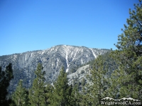
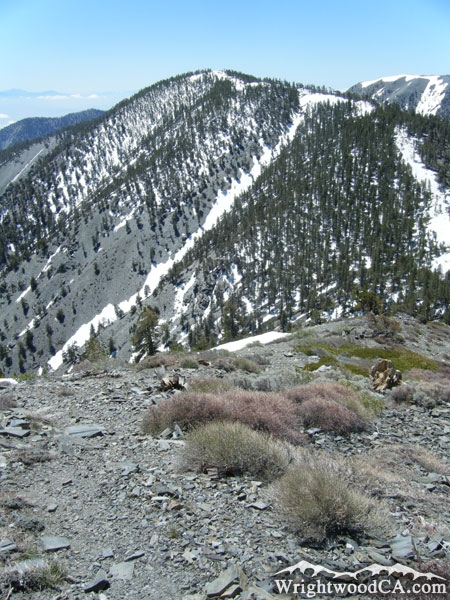
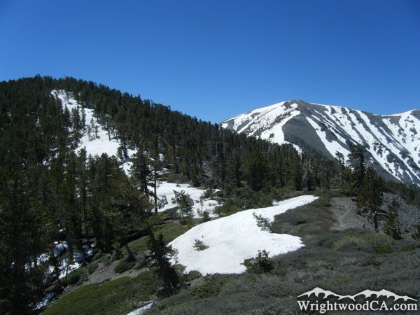
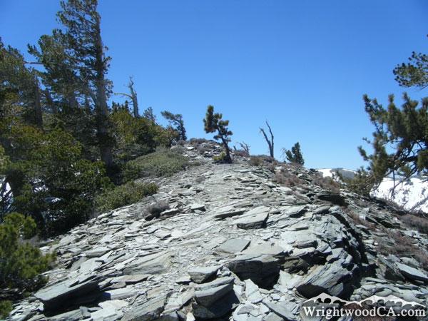
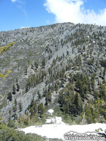
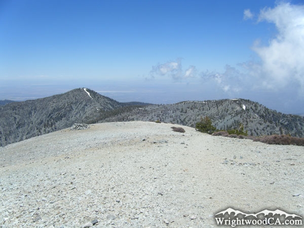
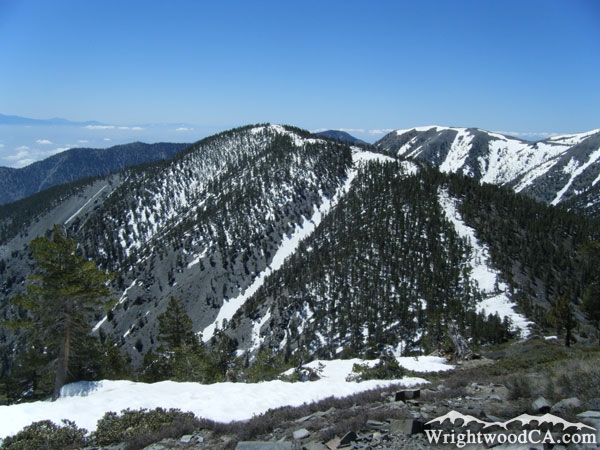
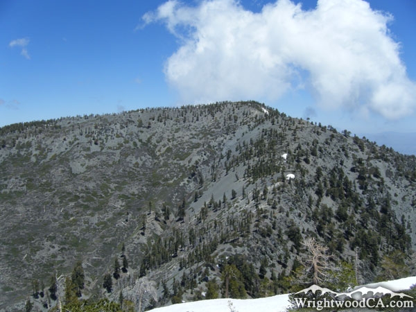
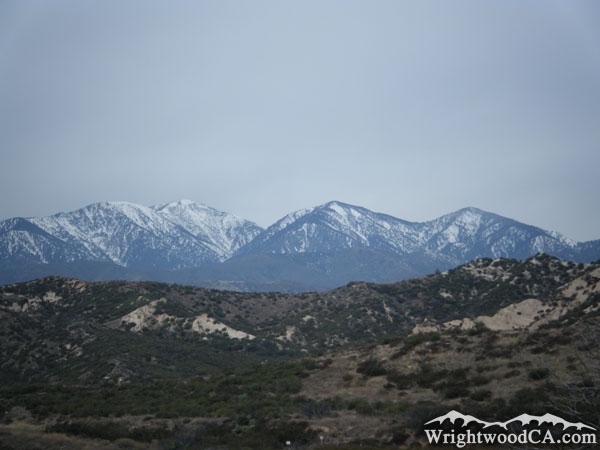
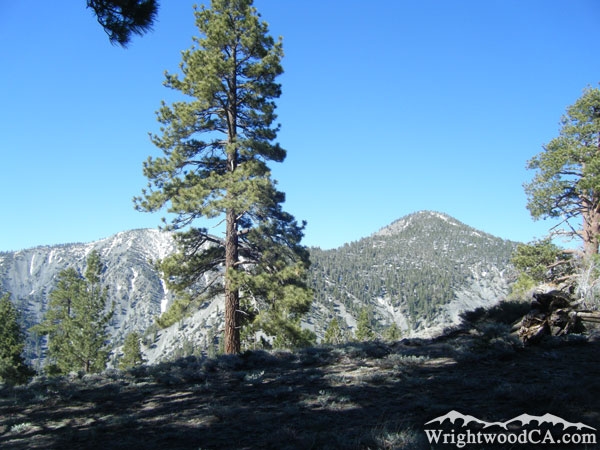
Dawson Peak stands at an elevation of 9,575' and makes up an important part of the North Baldy Backbone. Sandwiched in between Pine Mountain and Mt Baldy, Dawson Peak also shares a good portion of the North Backbone Trail, connecting Wright Mountain with Mt Baldy. Given its geographic location, Dawson Peak offers the most incredible views of the north face of Mt Baldy, and a clear view down into the Fish Fork area, which rests under Iron Mountain and Pine Mountain Ridge.
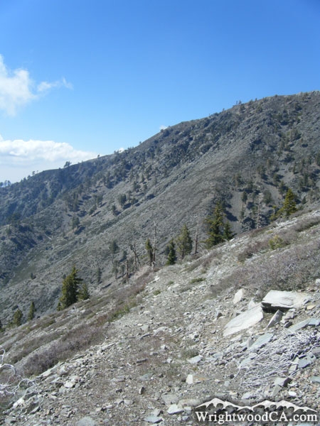
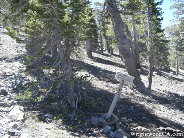
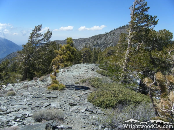
The Dawson Peak trail runs from the Dawson Peak/Pine Mountain saddle, down to the Fish Fork area, where it connects with the Fish Fork Trail. Although this trail is poorly maintained and sometimes impossible to follow, the general area keeps you up close and personal with the face of Mt Baldy during the duration of the hike.
For more information, check out our San Gabriel Mountains website on the Wrightwood CA Network.
Directions to Dawson Peak from Wrightwood
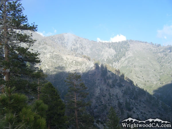
For the best view of Dawson Peak, take Highway 2 westbound from Wrightwood up to Inspiration Point, then take the Blue Ridge road eastbound from Inspiration Point to the backside of Wright Mountain (at the road's end) past the trail head to the North Backbone Trail. The best view point is at the road's end, looking back at Dawson Peak. Unfortunately, although you can catch a glimpse of Dawson Peak from other angles in the area, the best way to view it is from the top of Pine Mountain or Mt Baldy via the North Backbone Trail.
Dawson Peak Photos
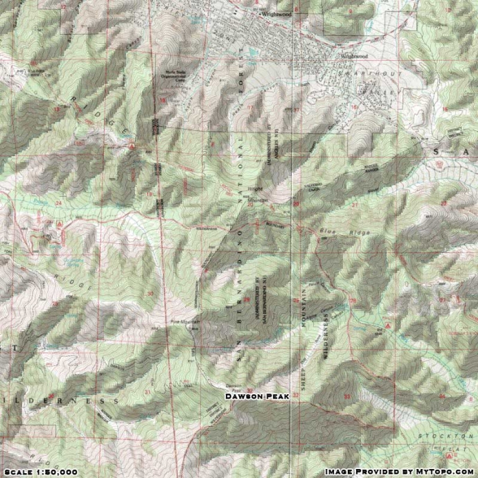
Dawson Peak Maps
|