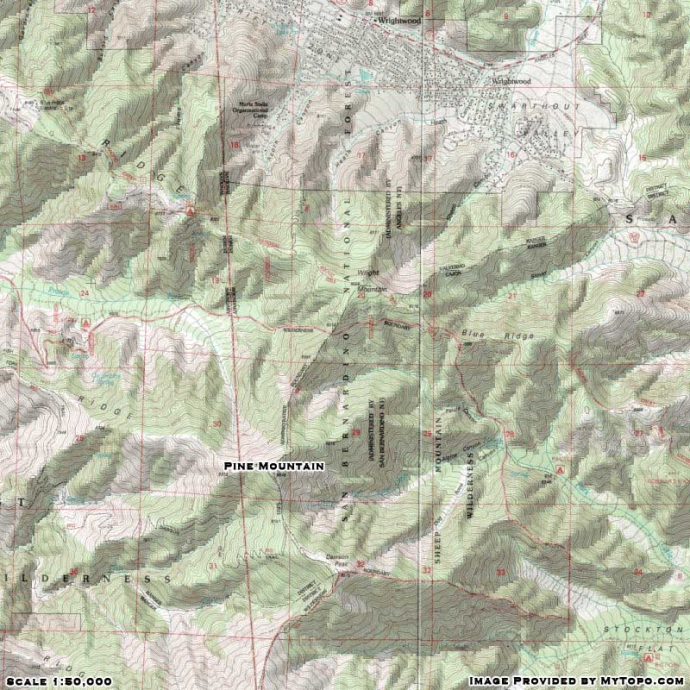
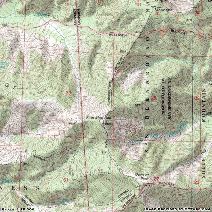
Wrightwood CA
Wrightwood CA Weather, webcams, cabins, hotels and more... Elevation: 6,000' Population: 4,525


Replace this Google Ad with your own Advertisement for only $200 per month and be seen on EVERY page!

Pine Mountain


Mountains

Pine Mountain  - Wrightwood CA
View Photos (31)
Map of Pine Mountain  - Wrightwood CA
View Maps (2)

Pine Mountain Information

Elevation: 9,648'
Location: South of Wrightwood

Pine Mountain Description

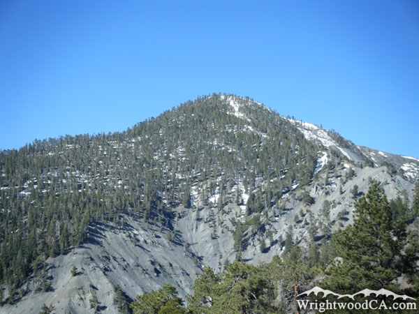
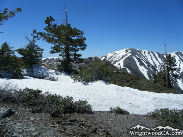
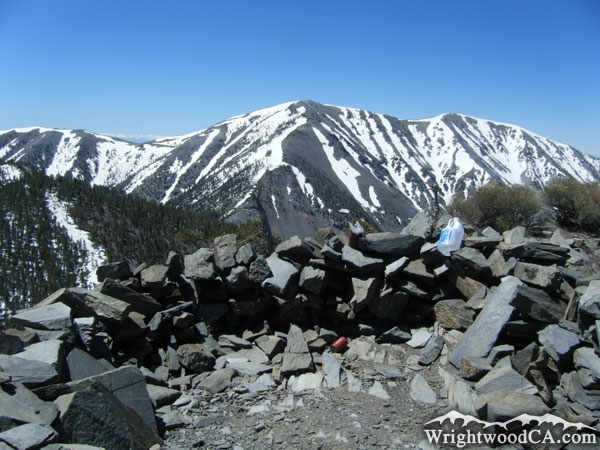
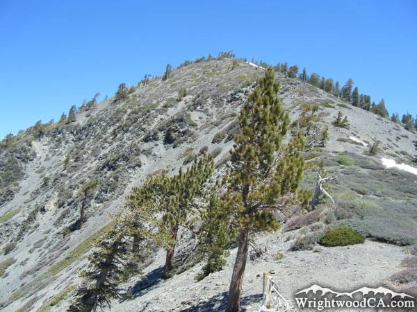
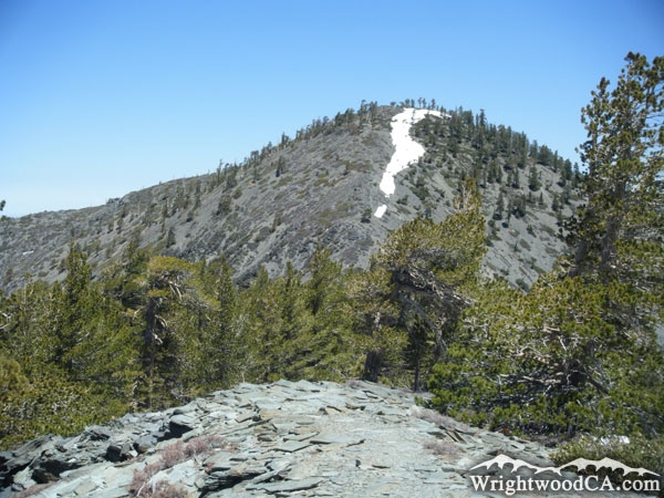
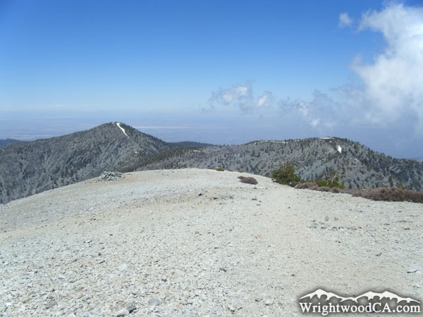
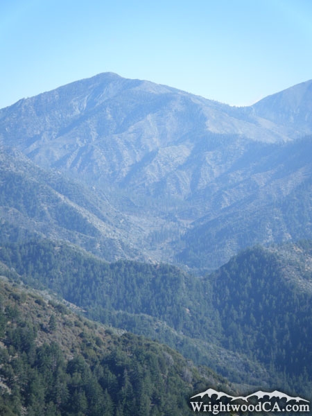
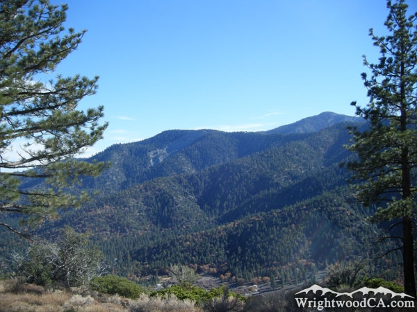
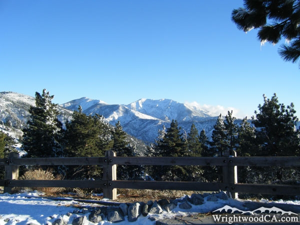
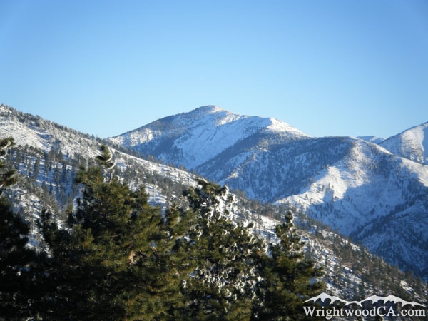
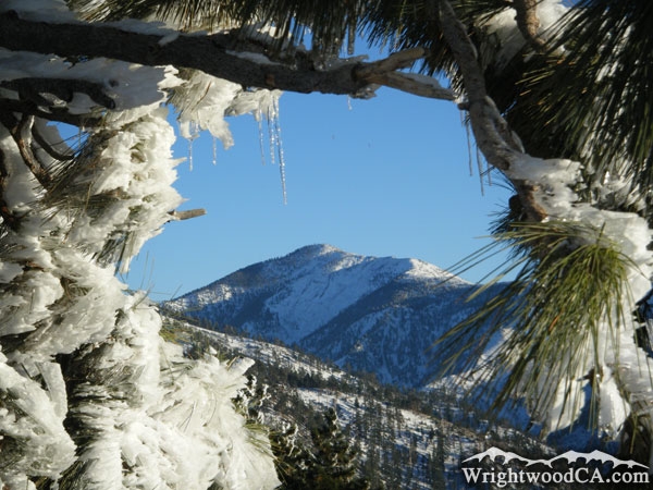
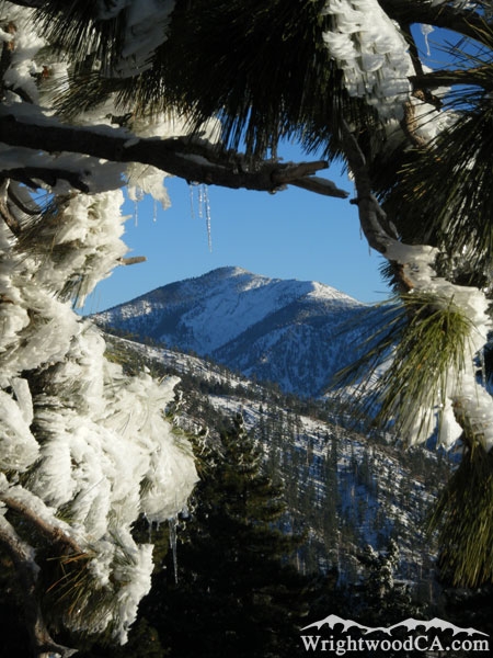
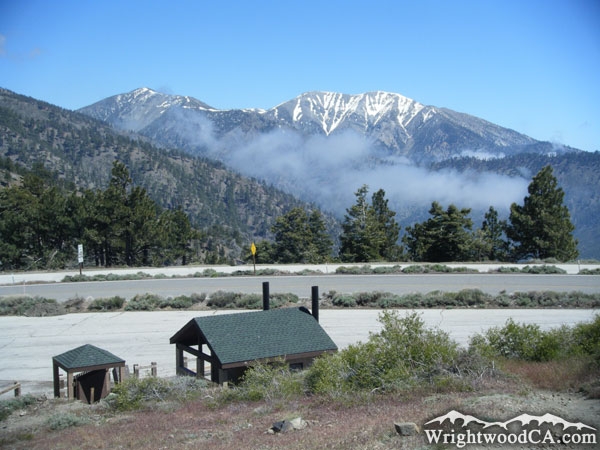
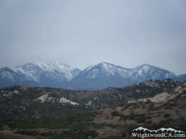
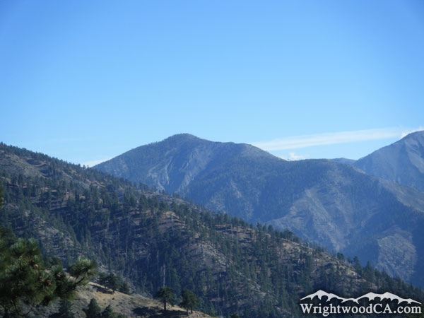
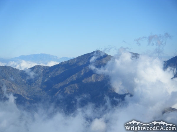
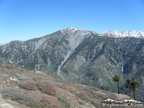
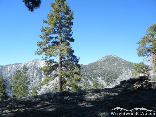
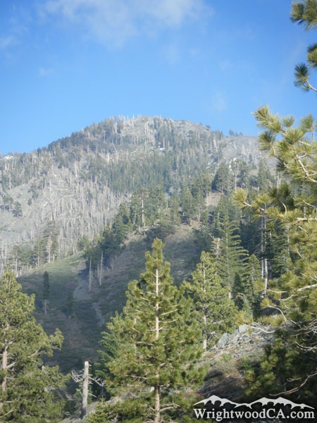
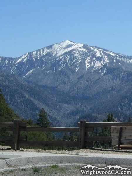
Pine Mountain is the second highest peak in the San Gabriel Mountains (with the exception of West Baldy) at an elevation of 9,648'. The peak of Pine Mountain can be seen from almost anywhere in the High Desert, as it rises just above Wright Mountain/Blue Ridge. Pine Mountain also shares a ridge line with Dawson Peak, which shares one with Mt Baldy. Pine Mountain also hosts part of the North Backbone Trail, which connects Wright Mountain with Mt Baldy, over very steep terrain.

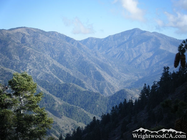
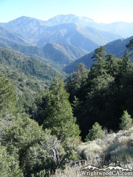
Geographically, Pine Mountain separates Lytle Creek from the Sheep Mountain Wilderness. Pine Mountain Ridge, which stretches east from the peak, is the major ridge line viewed from Inspiration Point and almost anywhere else in the Sheep Mountain Wilderness area.

For more information, check out our San Gabriel Mountains website on the Wrightwood CA Network.

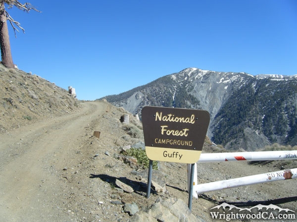
Directions to Pine Mountain from Wrightwood

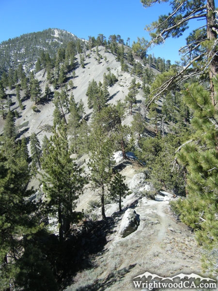
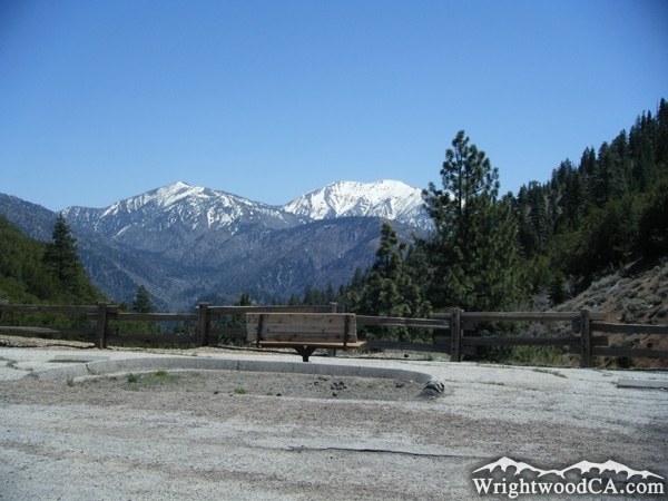
For the best views of Pine Mountain, take Highway 2 westbound from Wrightwood up to Inspiration Point. This is a great view point. To get closer to Pine Mountain, take the Blue Ridge road eastbound from Inspiration Point to Guffy Campground for more great views, or to the backside of Wright Mountain where you can find the trail head to the North Backbone Trail, which connects Wright Mountain to Pine Mountain, Dawson Peak, and eventually Mt Baldy (San Antonio).

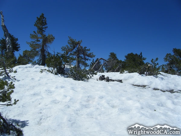
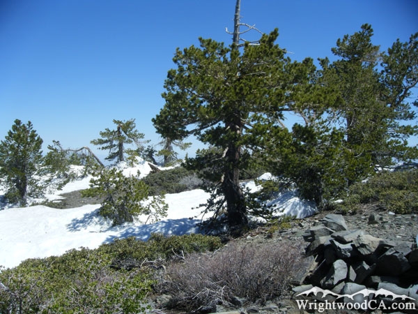
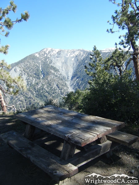
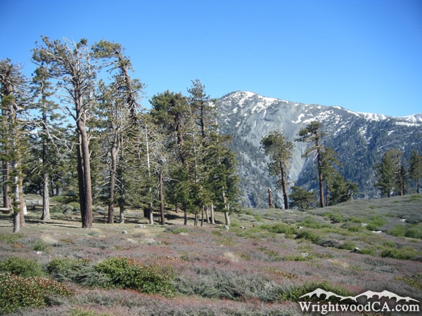
Pine Mountain Photos

Pine Mountain, as viewed from the backside of Wright Mountain, near the North Backbone Trail head. - Wrightwood CA MountainsPine Mountain (left), and Mt Baldy (right) above the Pacific Crest Trail (PCT) - Wrightwood CA MountainsBlue Ridge (left) and Pine Mountain (right) above Prairie fork (below Pine Mountain) and Vincent Gulch - Wrightwood CA MountainsLooking up at Pine Mountain from the start of the North Backbone Trail. - Wrightwood CA Mountains
Snow on Pine Mountain in late Spring - Wrightwood CA MountainsSnow on the North Backbone Trail on Pine Mountain in late Spring - Wrightwood CA MountainsNorth Backbone Trail on Pine Mountain with Mt Baldy in the background. - Wrightwood CA MountainsRocks at the top of Pine Mountain with Mt Baldy in the background. - Wrightwood CA Mountains
Trees and Snow atop Pine Mountain - Wrightwood CA MountainsLooking up at Pine Mountain from the North Backbone Trail in the Pine Mountain/Dawson Peak saddle. - Wrightwood CA MountainsPine Mountain viewed from North Backbone Trail on Dawson Peak - Wrightwood CA MountainsPine Mountain (left) and Dawson Peak (right) as viewed from peak of Mt Baldy - Wrightwood CA Mountains
Pine Mountain in background of Guffy Campground entrance. - Wrightwood CA MountainsPine Mountain behind a table in Guffy Campground - Wrightwood CA MountainsPine Mountain behind Guffy Campground - Wrightwood CA MountainsPine Mountain towering above Prairie Fork - Wrightwood CA Mountains
Pine Mountain (upper left), Mt Baldy (upper middle), Pine Mountain Ridge (below Mt Baldy) - Wrightwood CA MountainsPine Mountain (upper right) peaking above Blue Ridge and Wright Mountain - Wrightwood CA MountainsSnow covered Pine Mountain (left) and Mt Baldy (right) in Winter from Inspiration Point. - Wrightwood CA MountainsPine Mountain in Winter - Wrightwood CA Mountains
Pine Mountain framed by frozen tree branches - Wrightwood CA MountainsPine Mountain framed by frozen tree branches - Wrightwood CA MountainsPine Mountain (left) and Mt Baldy (right) with Inspiration Point in the foreground.  - Wrightwood CA MountainsMt Baldy (left), Dawson Peak (middle), and Pine Mountain (right) as viewed from Highway 138, east of the 15 Freeway. - Wrightwood CA Mountains
Pine Mountain in Summer
 - Wrightwood CA MountainsClouds approaching Pine Mountain, as viewed from Mt Baden Powell - Wrightwood CA MountainsPine Mountain as viewed from Blue Ridge near Guffy Campground - Wrightwood CA MountainsDawson Peak (left) and Pine Mountain (right) from backside of Wright Mountain - Wrightwood CA Mountains
Looking up at Pine Mountain from the Fish Fork/Pine Mountain Ridge Trail. - Wrightwood CA MountainsPine Mountain (left) and Mt Baldy (right) viewed from Vincent Gap. - Wrightwood CA MountainsPine Mountain viewed from Vincent Gap - Wrightwood CA Mountains

Pine Mountain Maps

Topographic Map of Pine Mountain - Wrightwood CA MountainsTopographic Map of Pine Mountain - Wrightwood CA Mountains


Replace the Google Ad at the top of this page with your own Advertisement for only $200 per month and be seen on EVERY page!

Copyright © 2011-2023 WrightwoodCA.com - All Rights Reserved.
Paid Banner Advertising | Premium Business Listing Service

Wrightwood CA Info: About The Town | Business Directory | Live Webcams | Photo Gallery | Video Archive | Emergency Resources | Maps and Directions | Mountain Road Conditions | Homes and Real Estate | Lodging, Cabins & Hotels | Organizational Camps | Local Campgrounds | Snow Playing | Skiing & Snowboarding | Ziplines at Pacific Crest | Event Facilities | Hiking Trails | San Gabriel Mountains | Canyons and Valleys | Picnic Areas | Visitor Centers