Wrightwood CA
Wrightwood CA Weather, webcams, cabins, hotels and more... Elevation: 6,000' Population: 4,525


Replace this Google Ad with your own Advertisement for only $200 per month and be seen on EVERY page!

Pine Mountain Ridge


Mountains

Pine Mountain Ridge - Wrightwood CA
View Photos (17)
Map of Pine Mountain Ridge - Wrightwood CA
View Maps (1)

Pine Mountain Ridge Information

Elevation: 7,420'
Location: South of Wrightwood

Pine Mountain Ridge Description

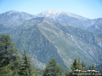
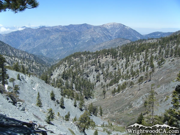
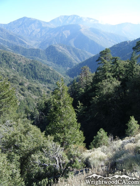
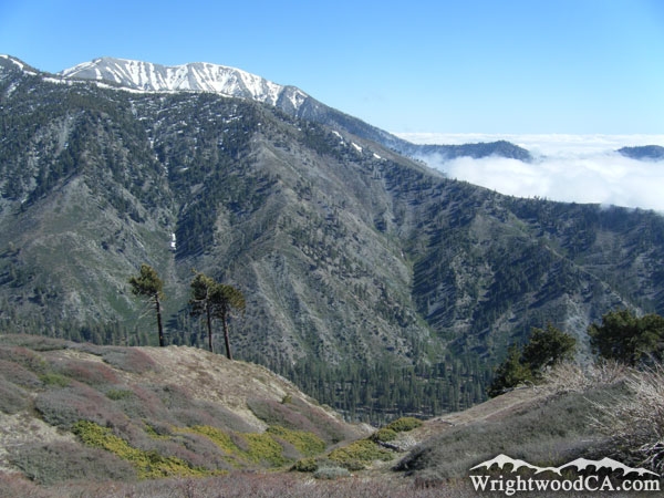
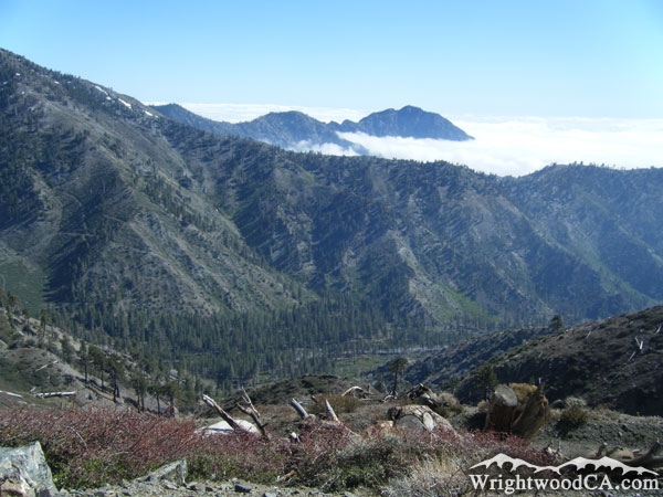
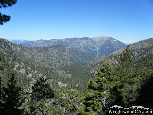
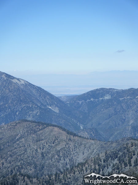
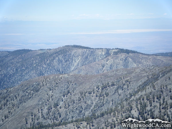
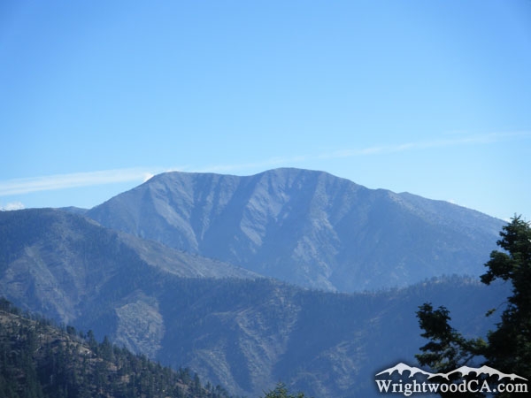
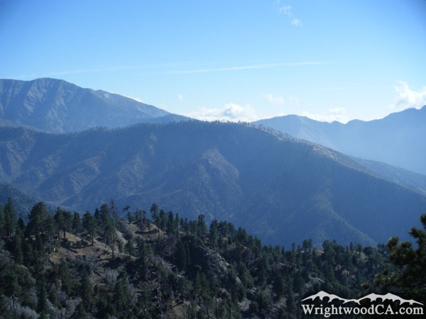
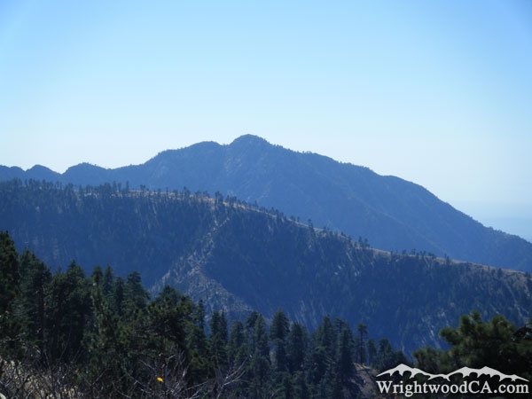
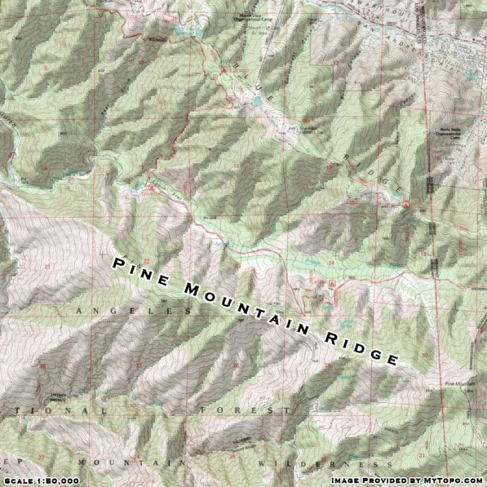
At 7,420' in elevation, Pine Mountain Ridge sits in the center of all the action. Extending down (west) from the peak of Pine Mountain, Pine Mountain Ridge acts as a south wall to Prairie Fork and a north wall to Fish Fork. The ridge continues west, down into the San Gabriel River Basin (East Fork). Pine Mountain Ridge is also home to a couple of trails; the Pine Mountain Ridge Trail and the Fish Fork Trail. This large geographic feature can be seen from almost anywhere up in the local mountains. For some of the best views, check it out from Inspiration Point.

For more information, check out our San Gabriel Mountains website on the Wrightwood CA Network.

Directions to Pine Mountain Ridge from Wrightwood

From the town of Wrightwood, take Highway 2 westbound to Inspiration Point. This location offers great views of Pine Mountain Ridge, which is basically the centerpiece to the San Gabriel River Basin in this area. For an up close and personal approach, take Blue Ridge Road eastbound from Inspiration Point. At the Guffy Campground split, take the bottom road, which will continue down into the Prairie Fork area. You can catch the Fish Fork/Pine Mountain Ridge Trail head near the entrance of Lupine Campground.

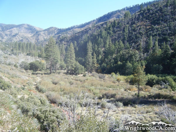
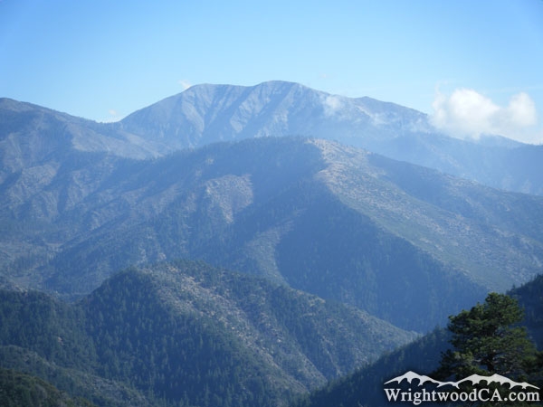
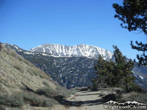
Pine Mountain Ridge Photos

Pine Mountain Ridge - Wrightwood CA MountainsPine Mountain Ridge (right) above Fish Fork - Wrightwood CA MountainsPine Mountain Ridge (right) and Mt Baden Powell in background - Wrightwood CA MountainsPine Mountain Ridge extending from Pine Mountain (upper left) and below Mt Baldy (upper right) - Wrightwood CA Mountains
Pine Mountain Ridge above Prairie Fork - Wrightwood CA MountainsPine Mountain Ridge in front of Iron Mountain - Wrightwood CA MountainsPine Mountain Ridge (left) and Prairie Fork (center) - Wrightwood CA MountainsPine Mountain Ridge below Vincent Gap - Wrightwood CA Mountains
Pine Mountain Ridge (bottom) and Blue Ridge (top) - Wrightwood CA MountainsPrairie Fork/Cabin Flat Campground (center) and Pine Mountain Ridge (right) - Wrightwood CA MountainsSnow-covered Mt Baldy (top) and Pine Mountain Ridge - Wrightwood CA MountainsPine Mountain Ridge in front of Mt Baldy - Wrightwood CA Mountains
Pine Mountain Ridge in front of Mt Baldy as viewed from Blue Ridge - Wrightwood CA MountainsPine Mountain Ridge below Mt Baldy - Wrightwood CA MountainsPine Mountain Ridge - Wrightwood CA MountainsPine Mountain Ridge with Iron Mountain in background - Wrightwood CA Mountains
Pine Mountain Ridge in front of Iron Mountain - Wrightwood CA Mountains

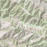
Pine Mountain Ridge Maps

Topographic Map of Pine Mountain Ridge - Wrightwood CA Mountains


Replace the Google Ad at the top of this page with your own Advertisement for only $200 per month and be seen on EVERY page!

Copyright © 2011-2023 WrightwoodCA.com - All Rights Reserved.
Paid Banner Advertising | Premium Business Listing Service

Wrightwood CA Info: About The Town | Business Directory | Live Webcams | Photo Gallery | Video Archive | Emergency Resources | Maps and Directions | Mountain Road Conditions | Homes and Real Estate | Lodging, Cabins & Hotels | Organizational Camps | Local Campgrounds | Snow Playing | Skiing & Snowboarding | Ziplines at Pacific Crest | Event Facilities | Hiking Trails | San Gabriel Mountains | Canyons and Valleys | Picnic Areas | Visitor Centers