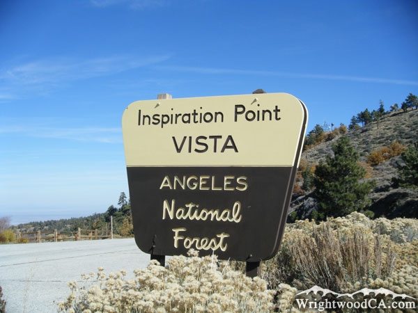
Wrightwood CA
Wrightwood CA Weather, webcams, cabins, hotels and more... Elevation: 6,000' Population: 4,525


Replace this Google Ad with your own Advertisement for only $200 per month and be seen on EVERY page!

Inspiration Point


Mountains

Inspiration Point - Wrightwood CA
View Photos (19)
Map of Inspiration Point - Wrightwood CA
View Maps (1)

Inspiration Point Information

Elevation: 7,385'
Location: South-West of Wrightwood

Inspiration Point Description

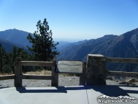
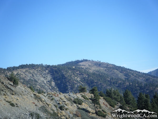
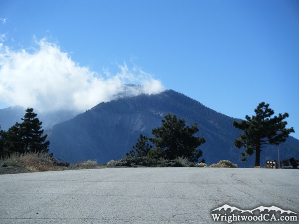
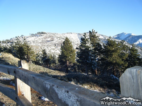
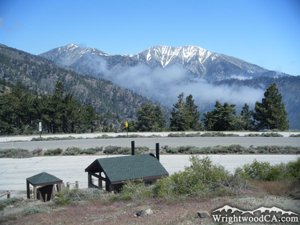
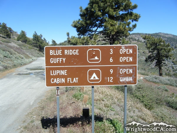
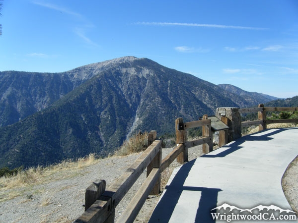
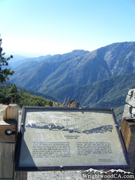
Inspiration Point is not actually a mountain, itself... it is part of Blue Ridge, however we felt it was significant enough as a landmark that we had to include it. At 7,385' in elevation, Inspiration Point rests in a small saddle on Blue Ridge, where Highway 2 crosses from the north side of the mountain, down into the Vincent Gulch side. Inspiration Point is also where the Pacific Crest Trail (PCT) crosses Highway 2.

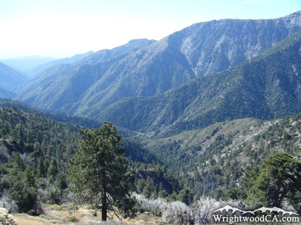
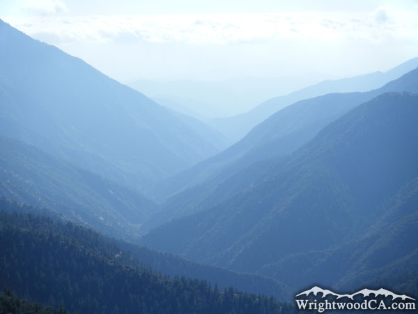
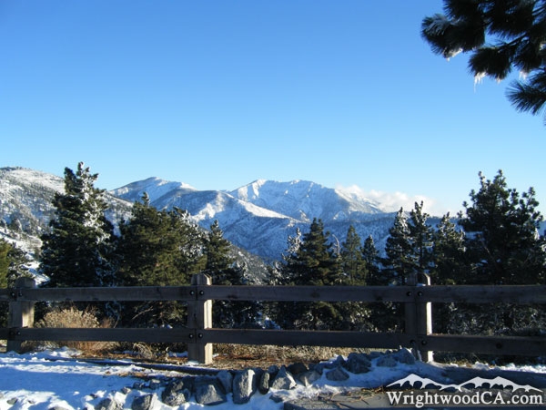
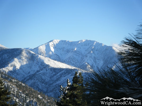
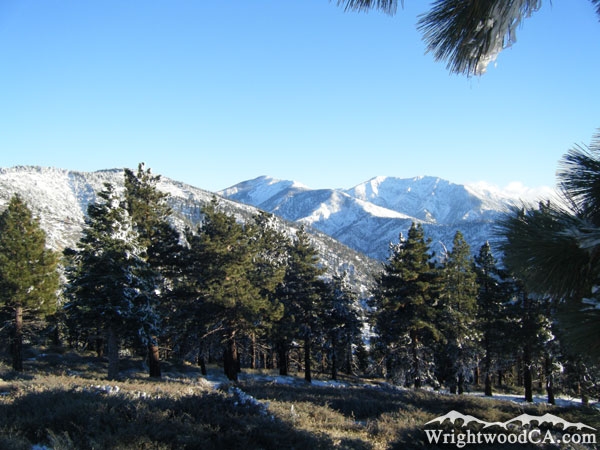
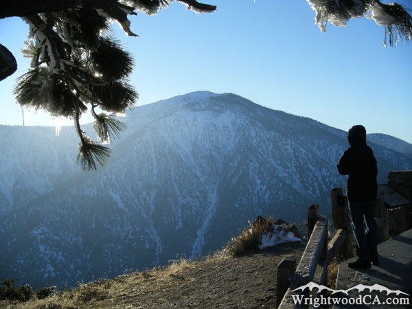
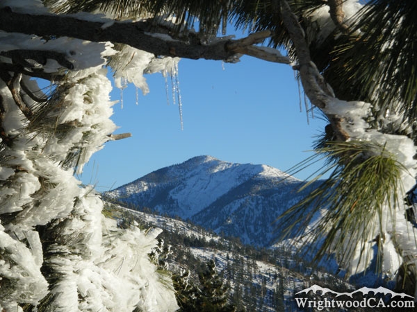
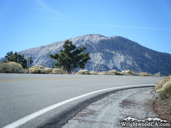
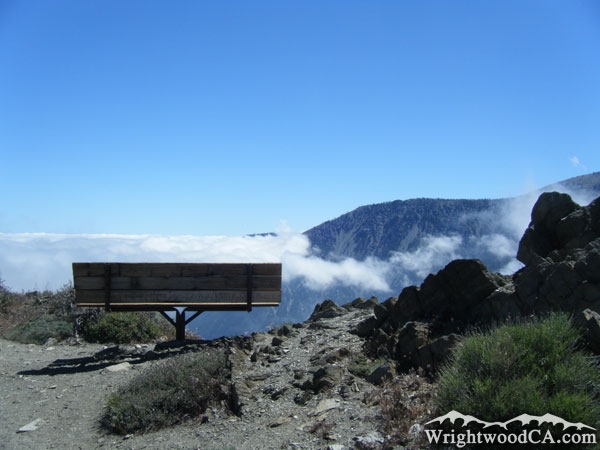
Inspiration Point is obviously known for its amazing views overlooking the San Gabriel River Basin (East Fork). It also offers views of most major mountains in the area including Blue Ridge, Pine Mountain, Mt Baldy, Iron Mountain, Pine Mountain Ridge, and Mt Baden Powell. If you are up for a small hike, take the short Lightning Ridge Nature Trail, which loops around the top of Inspiration Point and offers even more incredible views. On a clear day you can actually see the island of Catalina from Inspiration Point.

For more information, check out our San Gabriel Mountains website on the Wrightwood CA Network.

Directions to Inspiration Point from Wrightwood

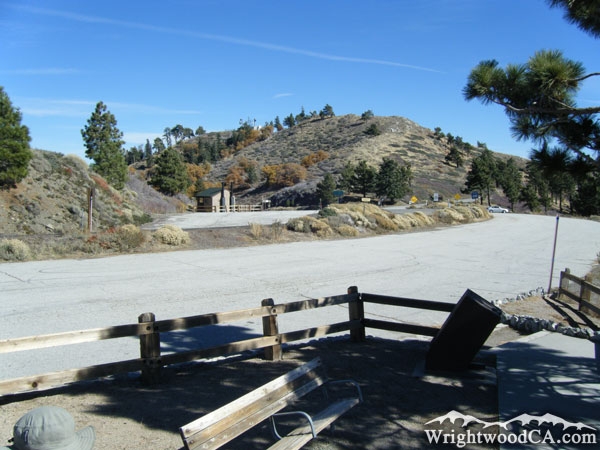
To get to Inspiration Point, simply take Highway 2 westbound from the town of Wrightwood. You will pass Big Pines and 2 of Mt High's Resorts. Continue up the winding Angeles Crest Highway (Hwy 2) until you cross over to the other side of Blue Ridge, where the views will blow you away. You'll know when you get there.

Inspiration Point Photos

Looking down into the San Gabriel River Basin (East Fork) from Inspiration Point - Wrightwood CA MountainsLooking down San Gabriel River Basin (East Fork) from Inspiration Point - Wrightwood CA MountainsInspiration Point in front of Blue Ridge - Wrightwood CA MountainsMt Baden Powell behind Inspiration Point - Wrightwood CA Mountains
San Gabriel River Basin (East Fork) as viewed from Inspiration Point - Wrightwood CA MountainsBlue Ridge (left), Pine Mountain (center), and Mt Baldy (right) as viewed from Inspiration Point - Wrightwood CA MountainsMt Baldy and Pine Mountain Ridge in winter as viewed from Inspiration Point - Wrightwood CA MountainsLooking toward Blue Ridge from Inspiration Point - Wrightwood CA Mountains
Blue Ridge (left), Pine Mountain (center), and Mt Baldy (right) from Inspiration Point - Wrightwood CA MountainsInspiration Point and Mt Baden Powell - Wrightwood CA MountainsPine Mountain framed by frozen tree branches at Inspiration Point - Wrightwood CA MountainsInspiration Point - Wrightwood CA Mountains
Start of Blue Ridge Road from Inspiration Point - Wrightwood CA MountainsInspiration Point - Wrightwood CA MountainsMt Baden Powell and Highway 2 at Inspiration Point - Wrightwood CA MountainsInspiration Point and Mt Baden Powell - Wrightwood CA Mountains
Highway 2 and Inspiration Point - Wrightwood CA MountainsInspiration Point - Wrightwood CA MountainsBench overlooking San Gabriel River Basin (East Fork) from the Lightning Ridge Trail at Inspiration Point - Wrightwood CA Mountains

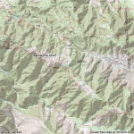
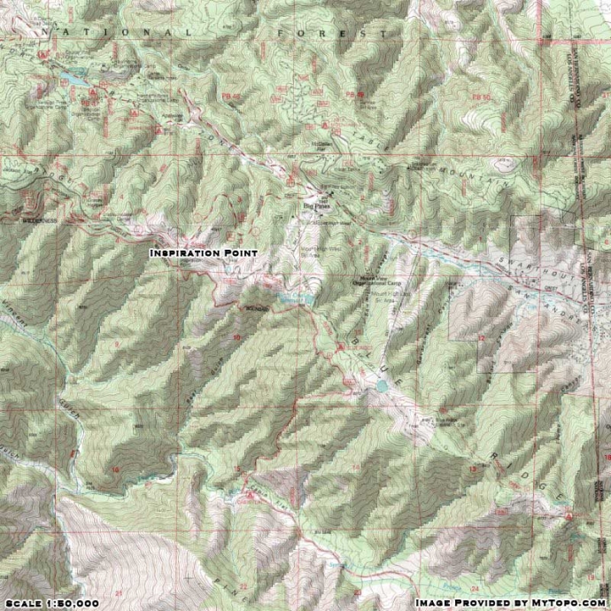
Inspiration Point Maps

Topographic Map of Inspiration Point - Wrightwood CA Mountains


Replace the Google Ad at the top of this page with your own Advertisement for only $200 per month and be seen on EVERY page!

Copyright © 2011-2023 WrightwoodCA.com - All Rights Reserved.
Paid Banner Advertising | Premium Business Listing Service

Wrightwood CA Info: About The Town | Business Directory | Live Webcams | Photo Gallery | Video Archive | Emergency Resources | Maps and Directions | Mountain Road Conditions | Homes and Real Estate | Lodging, Cabins & Hotels | Organizational Camps | Local Campgrounds | Snow Playing | Skiing & Snowboarding | Ziplines at Pacific Crest | Event Facilities | Hiking Trails | San Gabriel Mountains | Canyons and Valleys | Picnic Areas | Visitor Centers