PCT 1: Vincent Gap to Inspiration Point
Hiking Trails
 View Photos (6) View Photos (6)
|
 View Maps (2) View Maps (2)
|
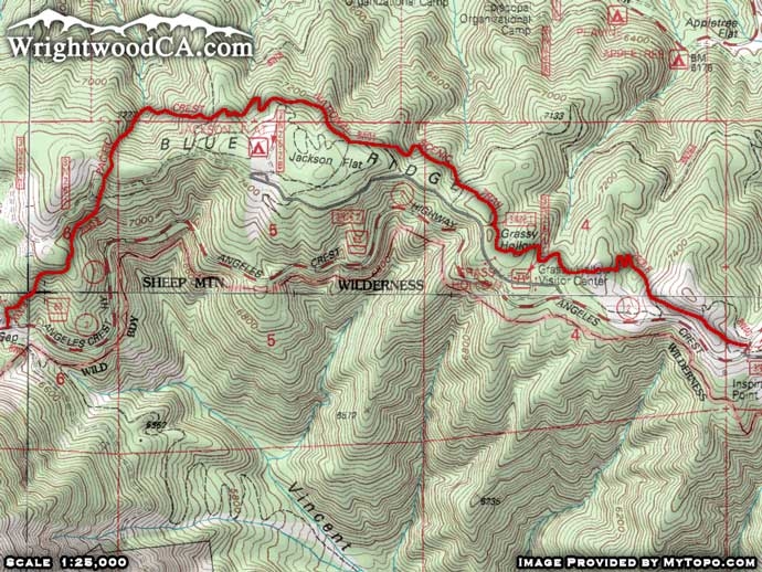
PCT 1: Vincent Gap to Inspiration Point Information |
| Length: | 4.4 miles |
| Type: | One Way / Connecting |
| Gain/Loss: | +/-800' |
| Difficulty: | Moderate |
| Trailhead: | Vincent Gap / Inspiration Point |
| Location: | South-West of Wrightwood |
|
PCT 1: Vincent Gap to Inspiration Point Description
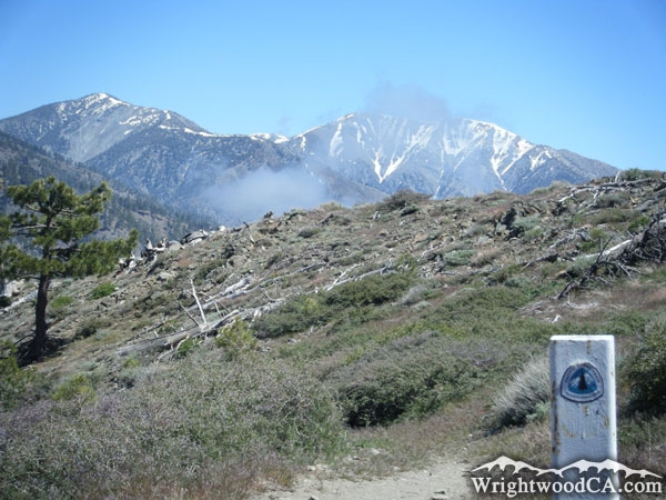
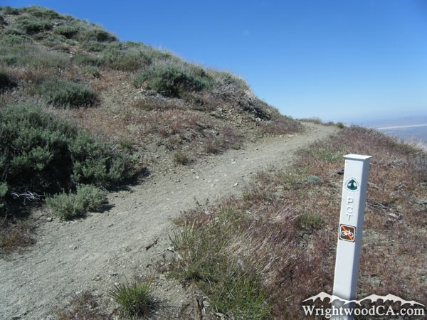
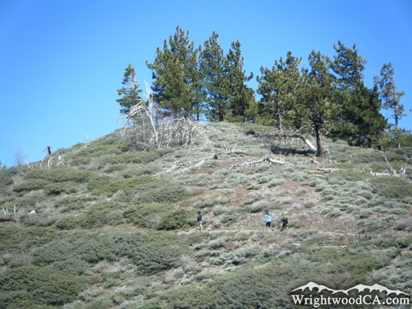
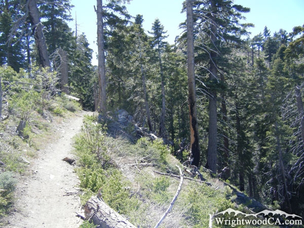
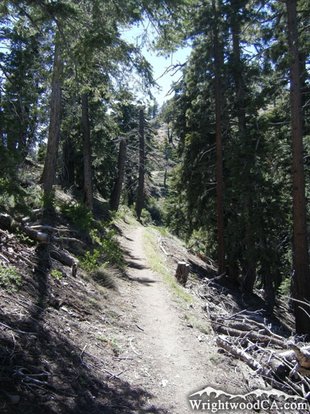
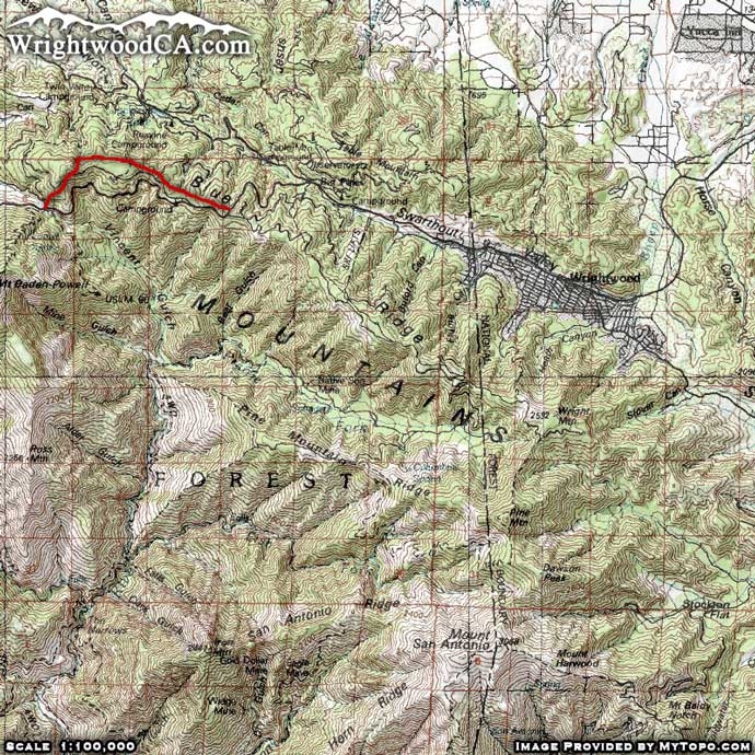
The Pacific Crest Trail (which goes from Mexico to Cananda) runs south of Wrightwood along the Blue Ridge. The section of the trail from Vincent Gap to Inspiration Point starts off with a steady incline up Blue Ridge. Half way through this portion of the trail is the Jackson Flat Group Campground. Continuing on the southbound trail will take you to the Grassy Hollow Visitor Center and Picnic Area. Finally, a short climb up the hill again brings you to Inspiration Point.
Directions to PCT 1: Vincent Gap to Inspiration Point from Wrightwood
From Wrightwood, take Hwy 2 westbound past Big Pines and up to Inspiration Point. From this point you can hike downhill toward Vincent Gap. If you would like to hike uphill, drive past Inspiration Point, past the Grassy Hollow Visitor's Center, and down to Vincent Gap. In either case, the trail will start and end on the north side of Hwy 2.
Don't forget to display a National Forest Adventure Pass in the windshield of your vehicle.
PCT 1: Vincent Gap to Inspiration Point Photos
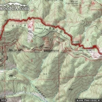
PCT 1: Vincent Gap to Inspiration Point Maps
|