Vincent Gap
Canyons and Valleys
Vincent Gap Description
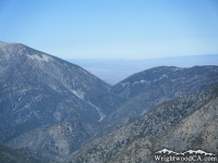
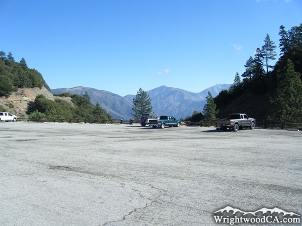
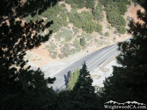
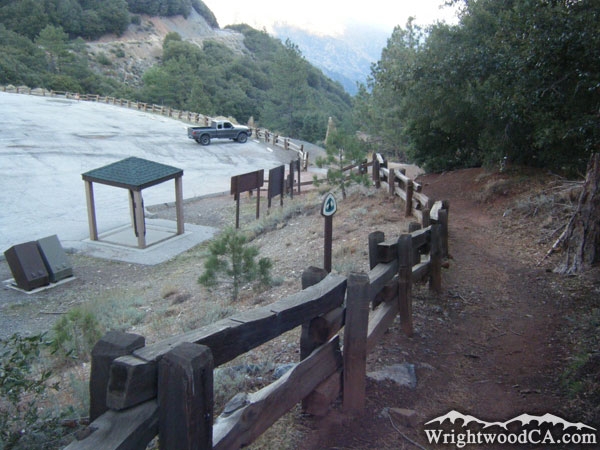
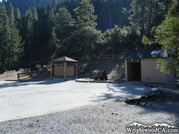
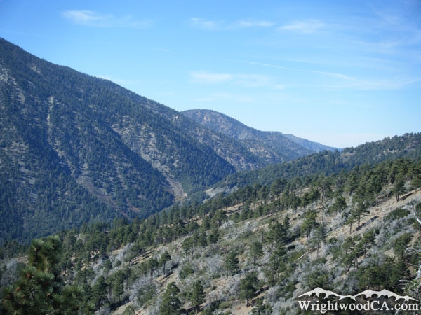
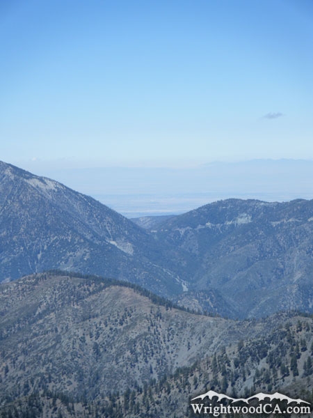
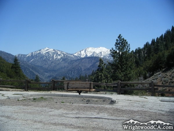
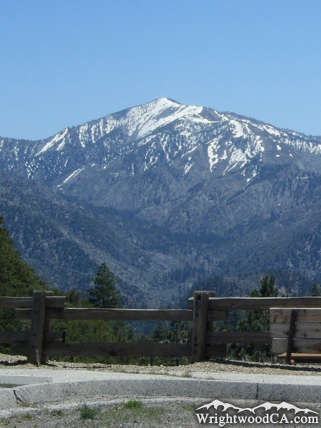
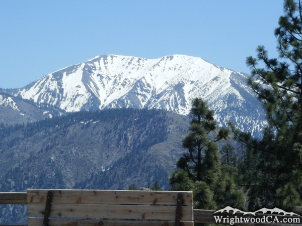
Vincent Gap is the pass that divides Mt Baden Powell from Blue Ridge. This is the highest point off the Vincent Gulch, which runs east from the gap. Vincent Gap has a parking lot at the base of Mt Baden Powell which doubles as a trail head for the Mine Gulch Trail, Bighorn Mine Trail, and Mt Baden Powell Trail. The Pacific Crest Trail (PCT) also runs through Vincent Gap and continues on the Mt Baden Powell trail as it traverses up the side of the mountain. Vincent Gap offers great views of Pine Mountain, Mt Baldy, Prairie Fork, and Vincent Gulch.
Directions to Vincent Gap from Wrightwood
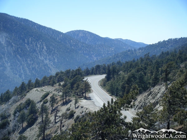
From Wrightwood, take Highway 2 westbound to Inspiration Point. From this location, you can view Vincent Gap, which is at the base of Mt Baden Powell. Otherwise continue on Highway 2 past Grassy Hollow, until you hit the parking lot at the bottom of the canyon, just before the road begins to climb again. If parking in Vincent Gap, don't forget to display a National Forest Adventure Pass in the window of your Vehicle.
Vincent Gap Photos
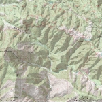
Vincent Gap Maps
|