Fish Fork
Canyons and Valleys
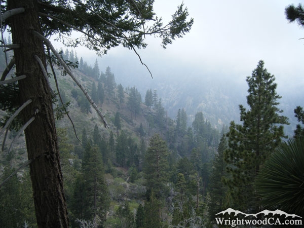
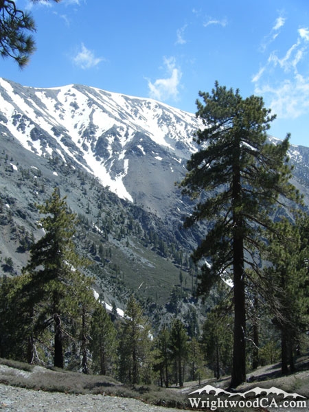
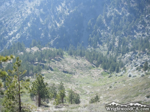
Fish Fork Description
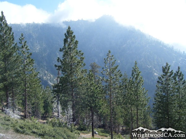
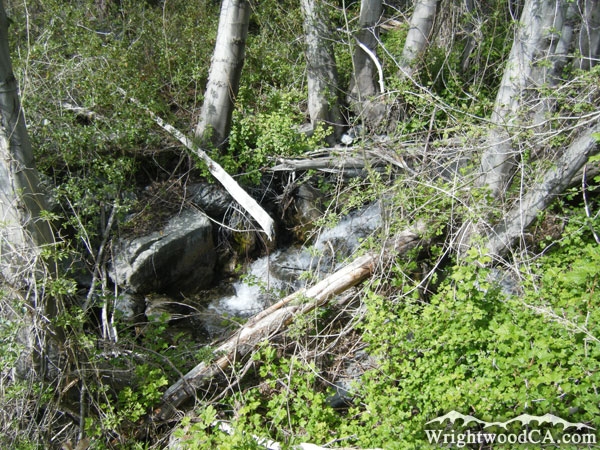
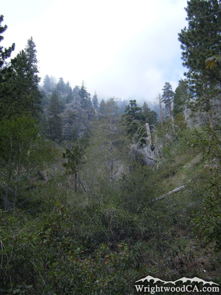
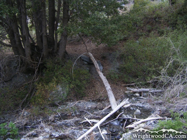
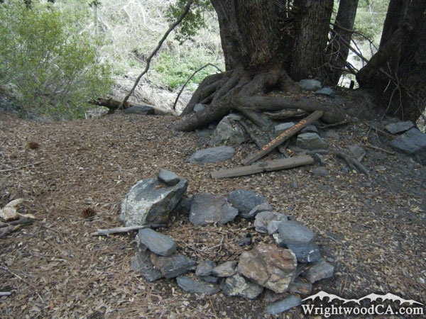
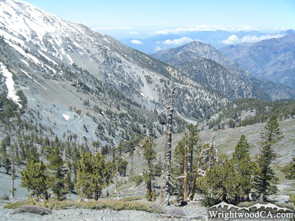
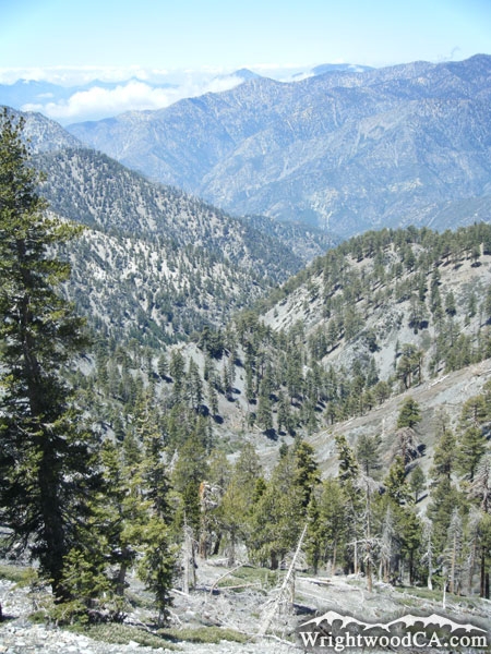
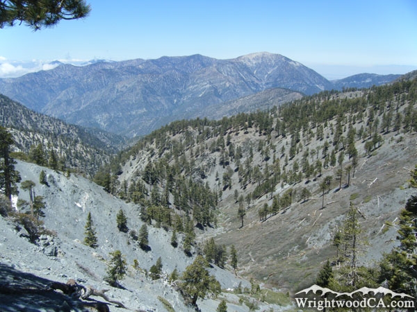
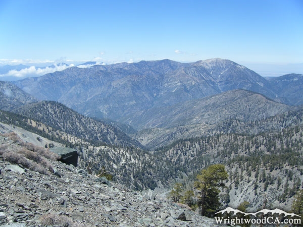
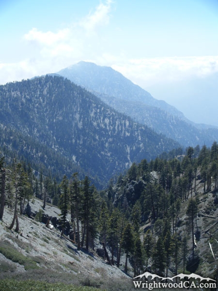
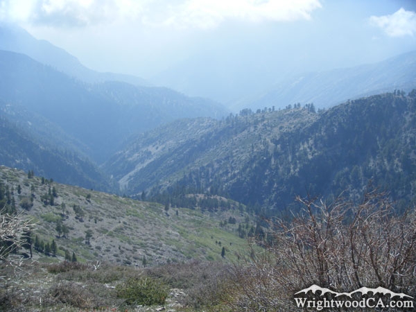
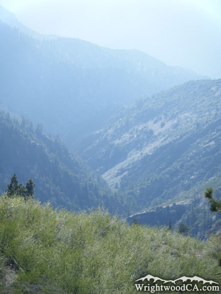
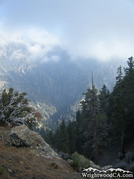
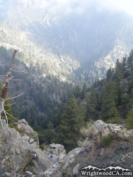
Fish Fork, located south of Wrightwood, between Pine Mountain Ridge and Iron Mountain (Mt Baldy's Ridge), is one of the most remote areas in the San Gabriel Mountains just because it is so hard to access. There are no roads leading to the Fish Fork area, only poorly (and I mean POORLY) maintained hiking trails. Fish Fork does have some amazing scenery, where it isn't overgrown near the water. There are steep canyon walls all around Fish Fork, including the tallest wall of any local canyon, the north-west face of Mt Baldy. All water in Fish Fork dumps into the East Fork of the San Gabriel River.
Directions to Fish Fork from Wrightwood
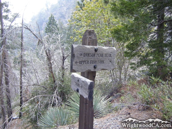
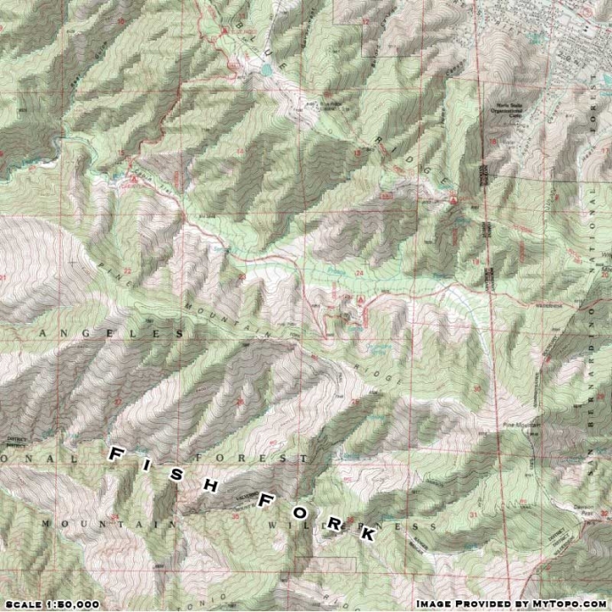
To get to Fish Fork, you better have a good pair of hiking boots and a lot of water. The easiest place to access Fish Fork is from the Fish Fork Trail out of Lupine Campground. Take Highway 2 westbound from Wrightwood to Inspiration Point. Take Blue Ridge Road from Inspiration Point to the Guffy Campground split. Take the lower road from Guffy, down into the Prairie Fork area and park in Lupine Campground. Don't forget to display your National Forest Adventure Pass if parking here/
Fish Fork Photos
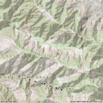
Fish Fork Maps
|