Wrightwood CA
Wrightwood CA Weather, webcams, cabins, hotels and more... Elevation: 6,000' Population: 4,525


Replace this Google Ad with your own Advertisement for only $200 per month and be seen on EVERY page!

Prairie Fork


Canyons and Valleys

Prairie Fork - Wrightwood CA
View Photos (26)
Map of Prairie Fork - Wrightwood CA
View Maps (1)

Prairie Fork Information

Location: South of Wrightwood

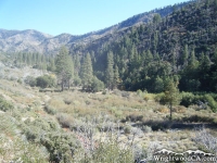
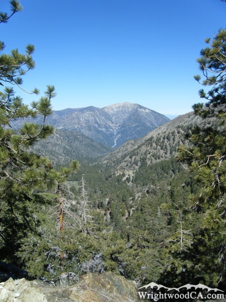
Prairie Fork Description

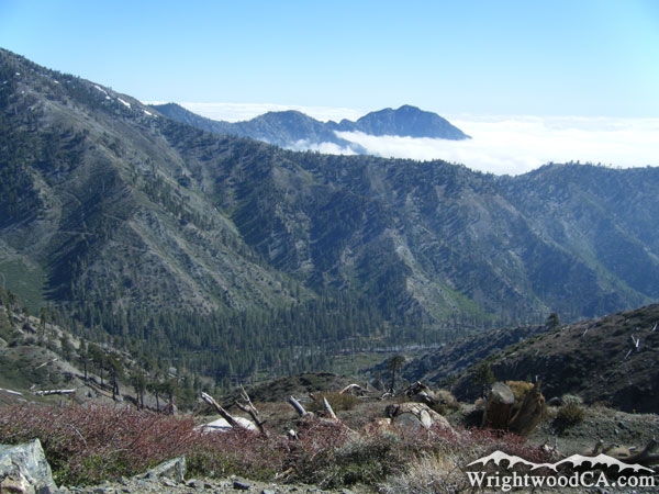
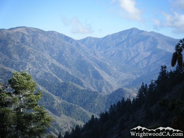
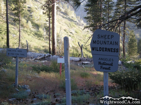
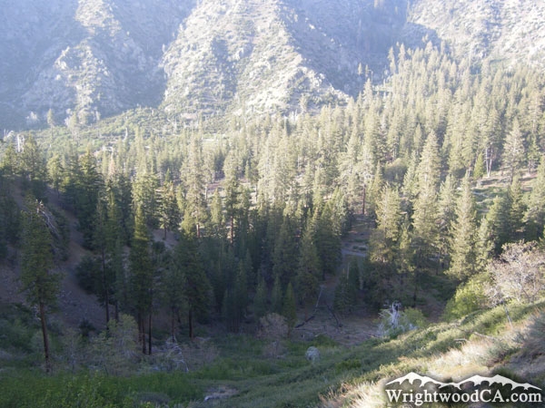
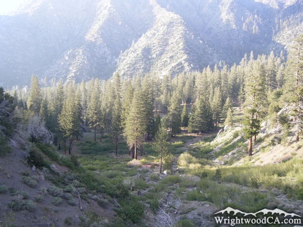
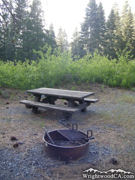
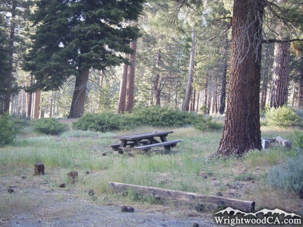
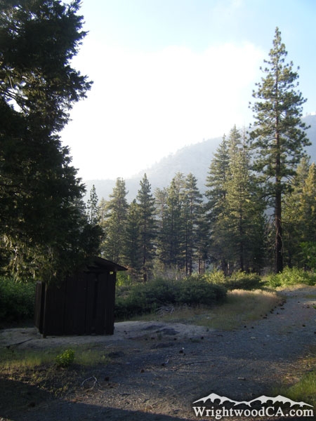
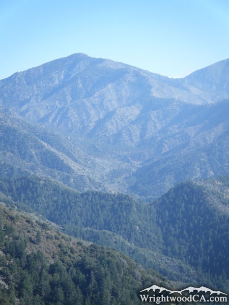
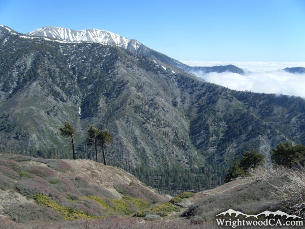
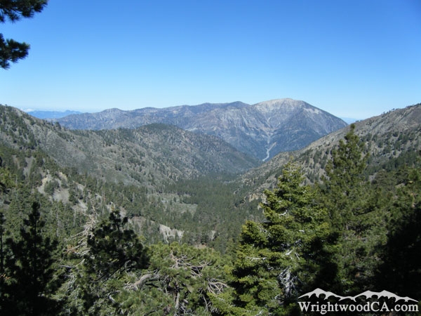
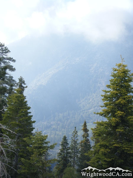
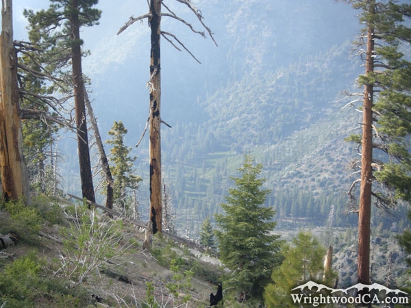
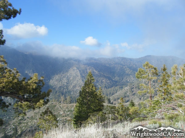
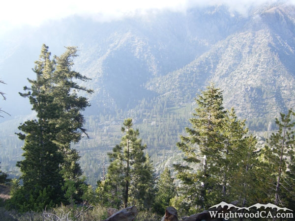
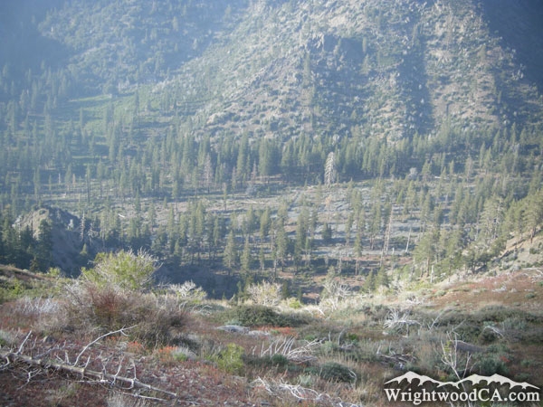
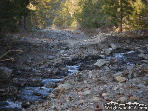
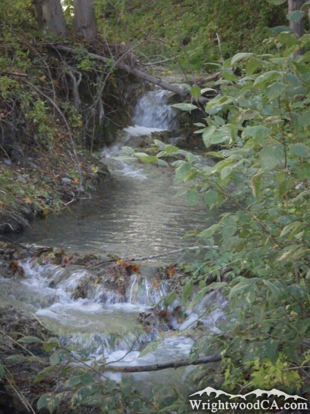
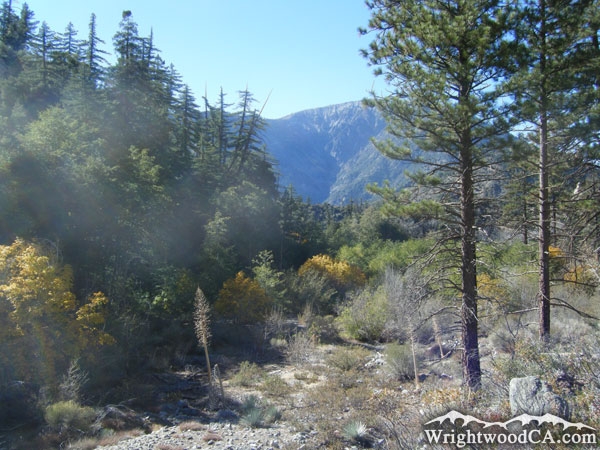
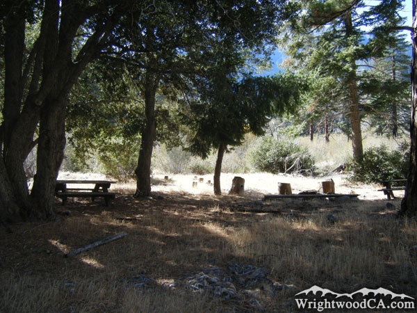
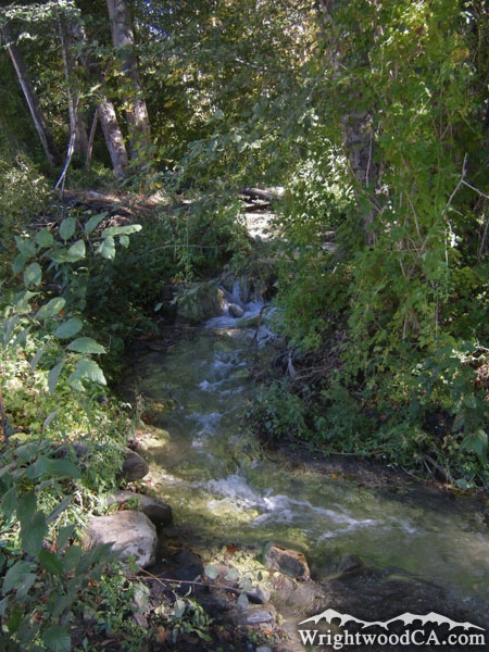
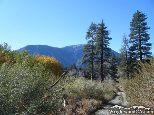
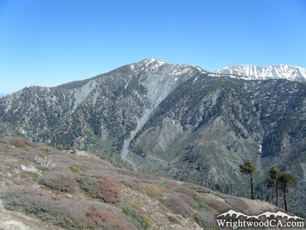
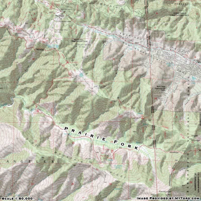
Prairie Fork is located south of Wrightwood, between Blue Ridge and Pine Mountain Ridge. All water from the Prairie Fork dumps into the East Fork of the San Gabriel River. Prairie Fork is home to two campgrounds, Lupine Campground and Cabin Flat Campground. Located at the entrance of Lupine Campground is the trail head to the Fish Fork / Pine Mountain Ridge Trail. This trail offers great views looking down toward Lupine Campground and the rest of Prairie Fork.

Directions to Prairie Fork from Wrightwood

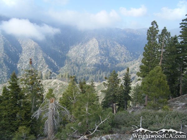
Take Highway 2 westbound from Wrightwood to Inspiration Point. Take Blue Ridge Road from Inspiration Point eastbound along the Blue Ridge. This road offers views looking down into Prairie Fork. If you drive too fast on this road, you may end up at the bottom of Prairie Fork faster than you anticipated. Otherwise, continue on Blue Ridge Road until it splits from Guffy Campground, where the lower road takes you down a winding path to Lupine Campground in Prairie Fork.

Prairie Fork Photos

Prairie Fork and Cabin Flat Campground - Wrightwood CAPrairie Fork below Pine Mountain Ridge with Iron Mountain in background - Wrightwood CAPrairie Fork just below Pine Mountain - Wrightwood CAPine Mountain Ridge/Fish Fork Trail head in Prairie Fork, near Lupine Campground entrance - Wrightwood CA
Looking down at Lupine Campground in Prairie Fork from Fish Fork/Pine Mountain Ridge Trail - Wrightwood CALupine Campground in Prairie Fork - Wrightwood CACampsite in Lupine Campground of Prairie Fork - Wrightwood CAPicnic Table in Lupine Campground (Prairie Fork) - Wrightwood CA
Lupine Campground and Prairie Fork - Wrightwood CAPrairie Fork below Pine Mountain - Wrightwood CALooking down at Prairie Fork from Blue Ridge with Pine Mountain Ridge and Mt Baldy in background - Wrightwood CAPine Mountain Ridge (left) and Prairie Fork (center) as viewed from North Backbone Trail - Wrightwood CA
Prairie Fork with Mt Baden Powell in background as viewed from North Backbone Trail - Wrightwood CALooking down at Prairie Fork from Pine Mountain Ridge - Wrightwood CAPrairie Fork framed with trees - Wrightwood CALooking down at Prairie Fork from Pine Mountain Ridge - Wrightwood CA
Prairie Fork below Blue Ridge - Wrightwood CAPrairie Fork from Pine Mountain Ridge - Wrightwood CAPrairie Fork - Wrightwood CARiver washed out the road into Prairie Fork, just above Lupine Campground - Wrightwood CA
Creek in Prairie Fork near Cabin Flat Campground - Wrightwood CALooking toward Mt Baden Powell from Cabin Flat Campground in Prairie Fork - Wrightwood CACabin Flat Campground in Prairie Fork - Wrightwood CACreek near Cabin Flat Campground in Prairie Fork - Wrightwood CA
Cabin Flat Campground in Prairie Fork with Mt Baden Powell in background - Wrightwood CAPrairie Fork below Pine Mountain as viewed from Blue Ridge - Wrightwood CA

Prairie Fork Maps

Topographic Map of Prairie Fork - Wrightwood CA


Replace the Google Ad at the top of this page with your own Advertisement for only $200 per month and be seen on EVERY page!

Copyright © 2011-2023 WrightwoodCA.com - All Rights Reserved.
Paid Banner Advertising | Premium Business Listing Service

Wrightwood CA Info: About The Town | Business Directory | Live Webcams | Photo Gallery | Video Archive | Emergency Resources | Maps and Directions | Mountain Road Conditions | Homes and Real Estate | Lodging, Cabins & Hotels | Organizational Camps | Local Campgrounds | Snow Playing | Skiing & Snowboarding | Ziplines at Pacific Crest | Event Facilities | Hiking Trails | San Gabriel Mountains | Canyons and Valleys | Picnic Areas | Visitor Centers