Wrightwood CA
Wrightwood CA Weather, webcams, cabins, hotels and more... Elevation: 6,000' Population: 4,525


Replace this Google Ad with your own Advertisement for only $200 per month and be seen on EVERY page!

Swarthout Valley


Canyons and Valleys

Swarthout Valley - Wrightwood CA
View Photos (21)
Map of Swarthout Valley - Wrightwood CA
View Maps (1)

Swarthout Valley Information

Location: Town of Wrightwood

Swarthout Valley Description

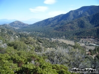
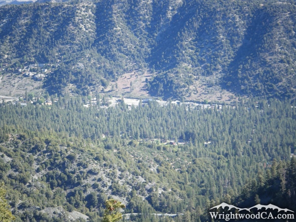
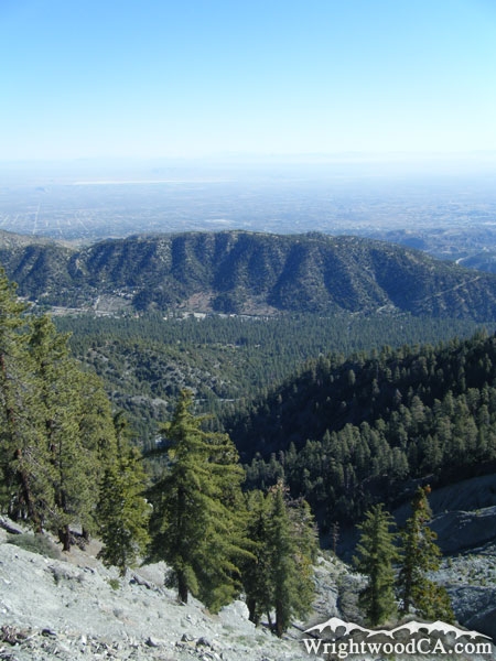
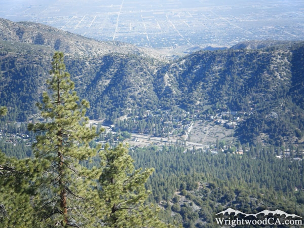
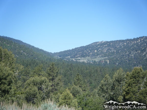
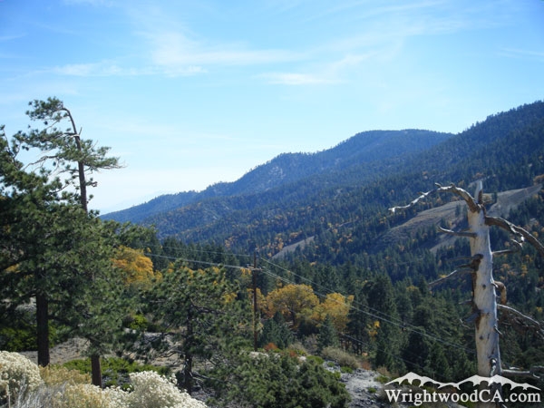
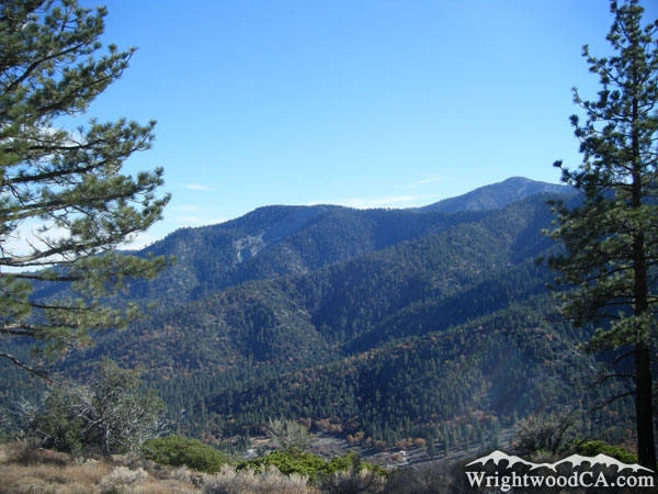
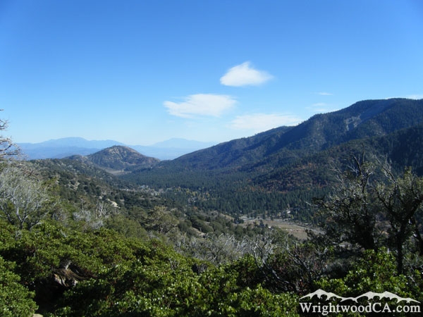
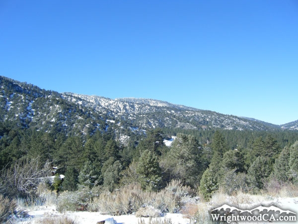
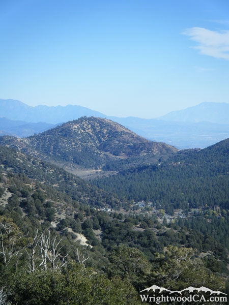
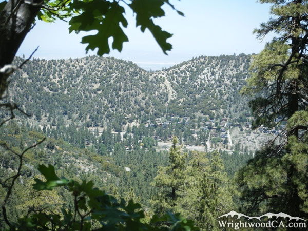
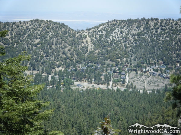
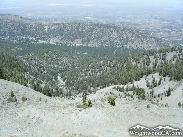
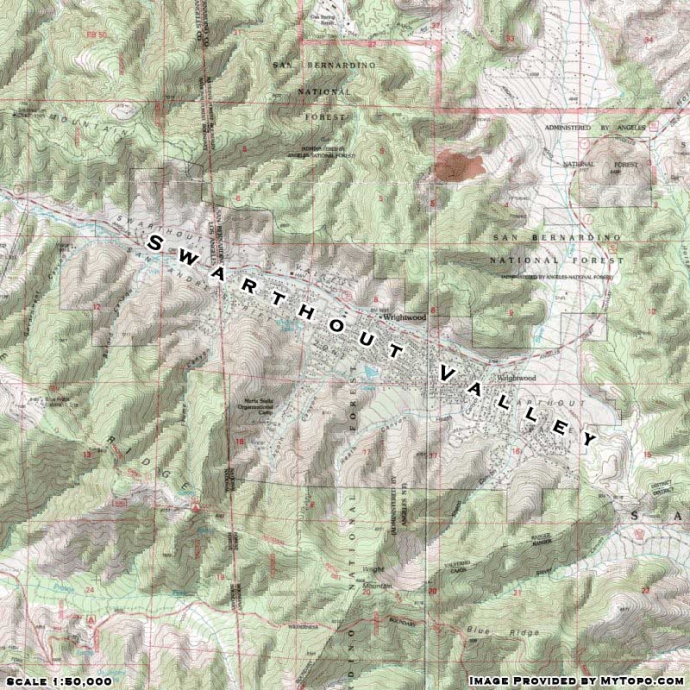
Swarthout Valley is the major valley that the town of Wrightwood is located in. The Valley was formed by the shifting of the San Andreas Fault, which runs east-west in this particular area. Along the north wall of Swarthout Valley is the ridge that extends from Table Mountain. Along the south wall of Swarthout Valley is Blue Ridge and Right Mountain. Along the east end of Swarthout Valley is Circle Mountains, and beyond that, the San Andreas Fault continues down Lone Pine Canyon. Swarthout Valley also has several canyons that branch off from it, including Sheep Canyon, Heath Canyon, Acorn Canyon, Flume Canyon, Buford Canyon and Government Canyon.

Directions to Swarthout Valley from Wrightwood

The town of Wrightwood is actually located more toward the east end of Swarthout Valley. For the best views of Swarthout Valley, you can drive up toward the turnout on Table Mountain Road and look toward the east. If you continue down a side road on Table Mountain from that turnout, there are even more amazing views. Another great view point is from almost anywhere on the top of Blue Ridge. Take Highway 2 westbound to Inspiration Point, then take the Blue Ridge Road eastbound as far as you want, and look down toward the town of Wrightwood in Swarthout Valley.

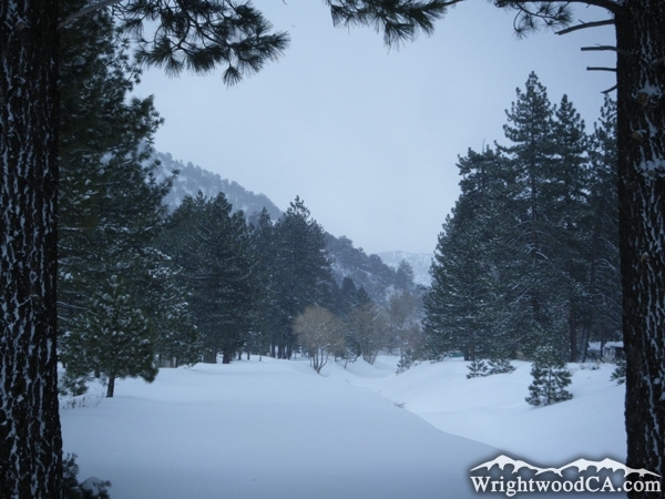
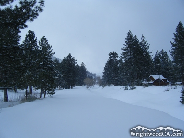
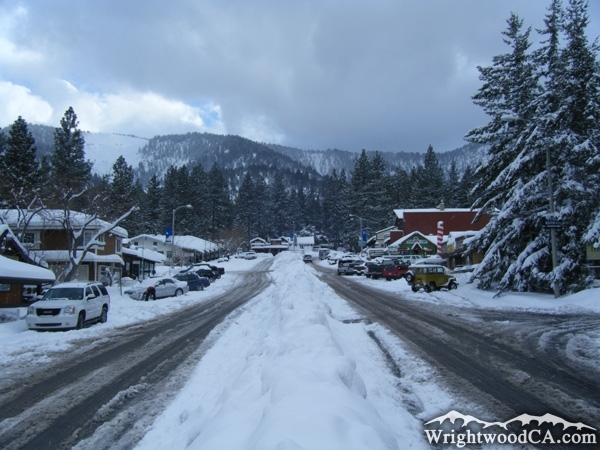
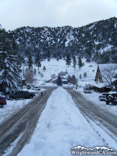
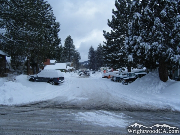
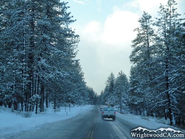
Swarthout Valley Photos

Swarthout Valley and the town of Wrightwood as viewed from Table Mountain - Wrightwood CALooking down at Swarthout Valley from Blue Ridge - Wrightwood CASwarthout Valley as viewed from Blue Ridge - Wrightwood CALooking down at Swarthout Valley and the town of Wrightwood from Blue Ridge - Wrightwood CA
Blue Ridge (left), Swarthout Valley (center) and Table Mountain (right) - Wrightwood CASwarthout Valley below Blue Ridge - Wrightwood CABlue Ridge and Swarthout Valley - Wrightwood CASwarthout Valley as viewed from Table Mountain - Wrightwood CA
Swarthout Valley in Winter - Wrightwood CACircle Mountain above Swarthout Valley (Wrightwood) - Wrightwood CARiver running through Swarthout Valley as snow melts in local mountains - Wrightwood CASwarthout Valley after a winter storm - Wrightwood CA
Swarthout Valley with snow - Wrightwood CATown of Wrightwood in Swarthout Valley after winter storm - Wrightwood CATown of Wrightwood (Swarthout Valley) in winter - Wrightwood CAWrightwood (Swarthout Valley) in winter - Wrightwood CA
Highway 2 in Swarthout Valley (Wrightwood) after winter storm - Wrightwood CALooking down at Swarthout Valley from the Acorn Trail - Wrightwood CASwarthout Valley from Acorn Trail - Wrightwood CASwarthout Valley (Wrightwood) - Wrightwood CA
Looking down at Swarthout Valley and town of Wrightwood from the landslide on Wright Moutnain - Wrightwood CA

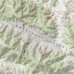
Swarthout Valley Maps

Topographic Map of Swarthout Valley - Wrightwood CA


Replace the Google Ad at the top of this page with your own Advertisement for only $200 per month and be seen on EVERY page!

Copyright © 2011-2023 WrightwoodCA.com - All Rights Reserved.
Paid Banner Advertising | Premium Business Listing Service

Wrightwood CA Info: About The Town | Business Directory | Live Webcams | Photo Gallery | Video Archive | Emergency Resources | Maps and Directions | Mountain Road Conditions | Homes and Real Estate | Lodging, Cabins & Hotels | Organizational Camps | Local Campgrounds | Snow Playing | Skiing & Snowboarding | Ziplines at Pacific Crest | Event Facilities | Hiking Trails | San Gabriel Mountains | Canyons and Valleys | Picnic Areas | Visitor Centers